Here we go again.
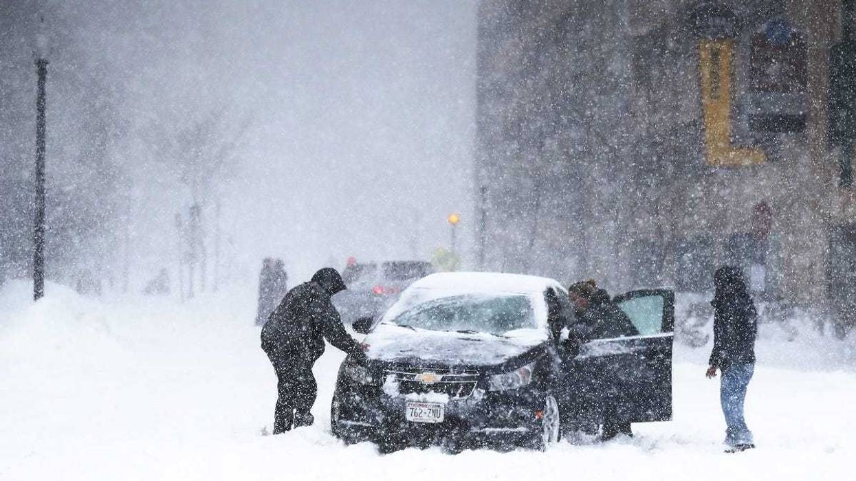
The National Weather Service has posted a Winter Storm Warning for all of central and southern Minnesota through western Wisconsin that starts Tuesday night and continues through Wednesday.
That area includes the Twin Cities.
The snow is expected to begin after midnight and continue all day Wednesday.
Accumulating snow will move into central MN and west central WI by Wednesday morning. #mnwx #wiwx pic.twitter.com/jWp4vS3yMK
— NWS Twin Cities (@NWSTwinCities) February 19, 2019Total accumulation in the Twin Cities could be between six and nine inches of snow.
That would help set a record for most snow in the Twin Cities for the month of February, according to records that date back to 1872.
Forecasters at the National Weather Service say about 22.6 inches of snow has fallen this month in the Twin Cities.
"I think that will happen by Wednesday afternoon," said WCCO's Paul Douglas. "It's unusual that February is the snowiest month, because February has fewer days than all the other months."
The record is 26.5 inches, which happened in 1962.
That was also a year when February had only 28 days.
It's possible that mark will be buried before the month ends, because more snow is predicted for the coming weekend.


