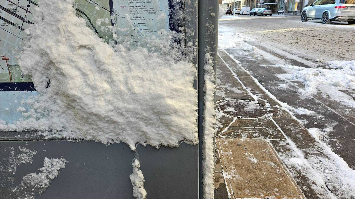
Commuters found it tough going Thursday morning after that quick moving storm system Wednesday dropped a significant amount of snow, relatively speaking for a winter that has been nearly unprecedented in how mild and dry it has been in Minnesota.
"We just had nearly as much snow as we've gotten up until February 14th," says WCCO Chief Meteorologist Paul Douglas. "Officially 6.9 (inches) at the airport, which is a record for Valentine's Day, for the 14th day of February."
The winter-like weather has been very rare. Douglas says tomorrow's projected high of 22 degrees will be the first day of below normal temperatures in all of February.
But don't get used to it. While temps stay cool Thursday and Friday, there will be some sunshine helping melt those icy roads.
"Keep in mind that sun angle now, as high in the sky as it was the third week of October," Douglas told Tom Hauser on the WCCO Morning News. "So, yeah, there's going be some melting. Even with temperatures below freezing. Tomorrow we'll be lucky to see 20, 21 (degrees) under partly sunny skies."
There is another warm up for the weekend and into next week with daytime highs on Wednesday near 50 so this is going to be short-lived.
"If you like snow, roll around in it Thursday, Friday, Saturday, because it's going to be gone by Sunday," Douglas explains. "We'll be up near 40 again."
That is followed by potentially 50 degree temps by Monday and Tuesday.
"The models have us back in the 40s next week and the last week of February, with a few days topping 50," says Douglas. "The normal high now is in the upper-20s. These temperatures are just crazy."
Douglas adds that this will almost certainly be the warmest meteorological winter in Minnesota's recorded history, which goes back to the 1870s.
"I just don't see it. I've been saying half a winter and people think I'm exaggerating. But we really are getting half a winter and it's really bizarre," Douglas says.


