If your Valentine likes a little snow outside during your candlelight, romantic dinner, you're in luck. Get ready for a (small) blast of winter weather today. The way it's going, this might be the Twin Cities' biggest winter storm, and yes, that's odd.
A winter weather advisory takes effect in the Twin Cities starting at 3:00 this afternoon. WCCO Radio Chief Meteorologist Paul Douglas says the snow likely won't start until later today around the metro, and it may start as a little rain.
"We do get a little shot of winter, I think it'll start out as a little rain-snow mix late afternoon, change over to mostly snow by 6:00 or 7:00, hopefully after rush hour," says Douglas. "But it's going to be close. And we're going to get up to 40 so we're getting off to a mild start. It'll melt on contact for a few hours, and then it'll start to pile up."
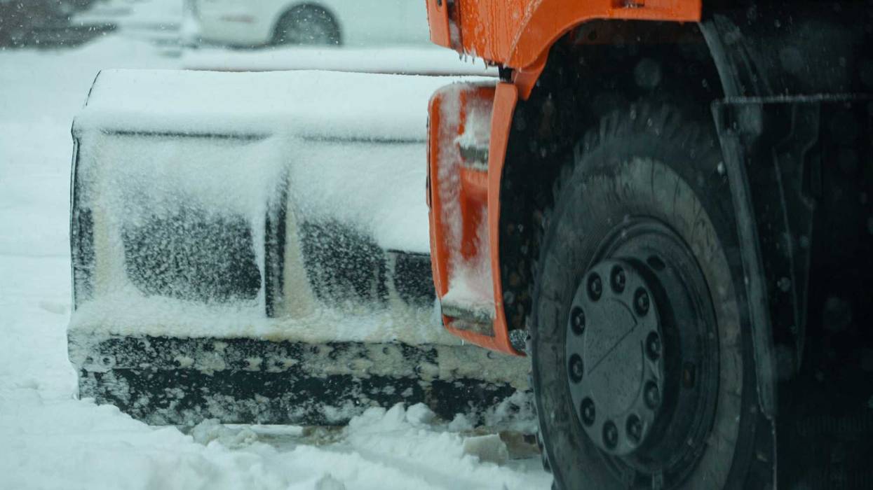
The National Weather Service says expect anywhere from 2 to 5 inches to fall across southern Minnesota, with 6 or more inches possible in southwestern parts of the state. Those numbers are up just slightly from the forecast on Tuesday.
The snow will be heavier the further south you get in the metro area. More in Lakeville than you'll get in Elk River. But the Twin Cities are in the main swath of snowy weather this time.
"This time we're not right on the edge," Douglas says. "The core of this snowy stripe is right over the Twin Cities metro, so we're going to get something out of this. The question in my mind is it going to be two inches, is it going to be four or five?"
Thursday morning could be dicey on the roads too.
"Little doubt that tomorrow morning there's going to be some slipping and sliding," Douglas says. "It's going to be in the low to mid-20s. Whatever falls is going to freeze. Give yourself some extra time tomorrow morning."
Don't get used to it though. It stays cold on Thursday and Friday, but then El Nino kicks warm, Pacific air back over Minnesota.
"If you like snow, roll around in it Thursday, Friday, Saturday, because it's going to be gone by Sunday," jokes Douglas. "We'll be up near 40 again."
That is followed by potentially 50 degree temps by Monday and Tuesday.
"The models have us back in the 40s next week and the last week of February, with a few days topping 50," says Douglas. "The normal high now is in the upper-20s. These temperatures are just crazy."
One minor epiphany: if you like snow get out and play in it tomorrow, Friday and Saturday. ECMWF brings another firehose of mild, Pacific air into town. Last 2 weeks of February may be 15-25F warmer than average pic.twitter.com/WuOMkAR8j2
— Paul Douglas (@pdouglasweather) February 14, 2024
When are we going to get "real winter" and a truly Minnesotan winter storm?
"I just don't see it. I've been saying half a winter and people think I'm exaggerating. But we really are getting half a winter and it's really bizarre," Douglas says.