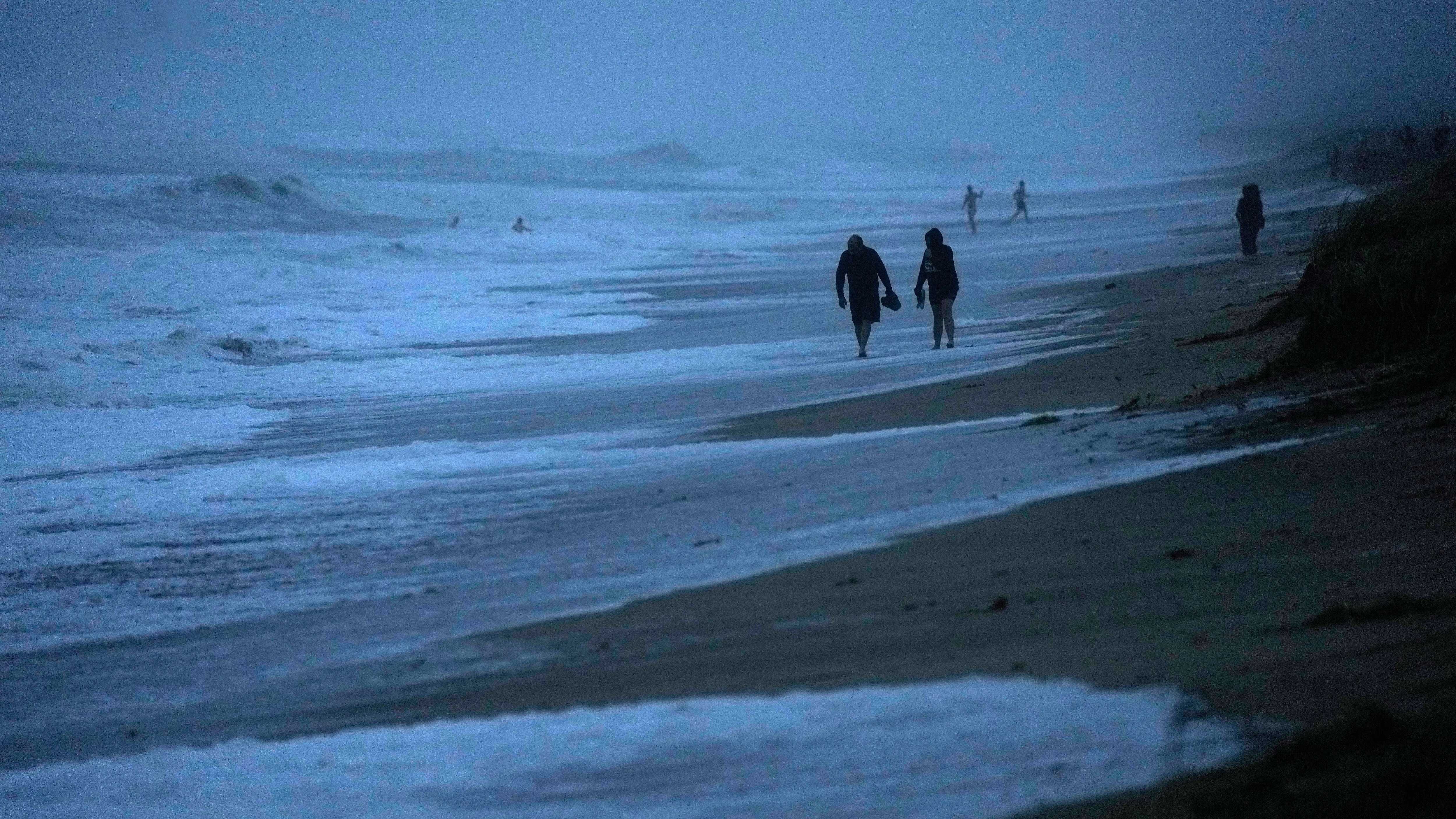
It was a glorious Sunday if you like a little cooler. It was the spring-like day we’ve been lacking so far this year.
“It felt like autumn,” says WCCO’s Chief Meteorologist Paul Douglas. “My wife looked at me and she said, ‘what, what have you done?’ I go, ‘wait, I don't know, maybe I tripped over the doppler’.”
Can you expect more days like this? Douglas says it is unlikely.
“I think days like yesterday are going to be the exception and not the rule,” he explains. “Everything I see leads me to believe that it's going to be a long, stinking hot summer and that we will see our fair share of 90 degree days.”
Douglas goes through the weather headlines for the week, plus the extended forecast.
Warm is the story globally
It is going to be a very, very warm 2023 across the planet. Possibly record-breaking. You’ve heard a lot about the heat and dry conditions in Canada causing historic wildfires already this year (and smoke for Minnesota and other areas of the country).
Looking to the oceans, the numbers are staggering to climate scientists.
“I have to tell you, and look, you don't want to hype this. You want to give it the attention it deserves, but I'm still scratching my head,” Douglas said. “A lot of meteorologists and climate scientists are looking at not only atmospheric temperatures, but sea surface temperatures around the world. It's like it's come unglued. We're off the scale, in uncharted waters, and the rate of warming right now is just mind boggling, and jaw dropping, and we don't really know what's happening.”
The oceans are just plain superheated right now. There are parts of the Atlantic Ocean that are already 4 degrees Celsius above average, which is a major concern for the hurricane season. Meteorologists say this could extend the hurricane season significantly, plus increase the power of those storms.
“Of course, the planet is warming up,” Douglas told Vineeta Sawkar on the WCCO Morning News. “You can live in denial, but you're not doing your kids or grandkids any favors. It is warming up. But the rate of warming that we're seeing right now is unprecedented.”
Douglas says it is obvious that there’s been a change in the world's oceans.
El Nino
We are in an El Nino now according to NOAA, and Douglas says that correlates with warmer, drier weather from Minnesota.
“I would predict that it’s going to be a stinking hot summer and a longer milder autumn, and probably a warmer winter,” he predicts. “It will snow. It will get cold. I don't think it's going to be anything like last winter, what we just muddled through. Keep an eye on that.”
Douglas says that is not totally responsible for the warming we’ve seen however.
“Weather is weirder. The smoke, and we're seeing more symptoms of this warming climate and I think those symptoms will become even more glaring and noticeable over the next 12 months with what could be a super El Nino.”
El Nino is a natural climate phenomenon marked by warmer-than-average sea surface temperatures in the central and eastern Pacific Ocean near the equator, which occurs on average every 2-7 years. El Nino’s impacts on the climate extend far beyond the Pacific Ocean.
"Depending on its strength, El Nino can cause a range of impacts, such as increasing the risk of heavy rainfall and droughts in certain locations around the world," said Michelle L'Heureux, climate scientist at the Climate Prediction Center. "Climate change can exacerbate or mitigate certain impacts related to El Nino. For example, El Nino could lead to new records for temperatures, particularly in areas that already experience above-average temperatures during El Nino.”
While El Nino typically suppresses the Atlantic hurricane season, that is balanced out by the much warmer than normal ocean temperatures as mentioned above. That is why NOAA is predicting a 'near normal' hurricane season.
Forecast
Monday looks beautiful. Not much smoke, blue sky, upper 70s says Douglas.
“A few clouds building this afternoon,” says Douglas. “A storm stalled over the Great Lakes will spark some showers over Wisconsin, but I think that rains stays east and then it warms up mid, maybe upper eighties Wednesday, near 90 by Thursday.”
We're in a moderate drought now in much of the state including the north metro, central Minnesota, and the North Shore. More rain would be welcome beyond what most of us saw over the weekend.
“The only chance of rain really comes Friday and it could be significant,” Douglas explained. “We shall see. And then it dries out for the weekend, a little bit cooler on Saturday, low eighties, well into the eighties again Sunday, Monday of next week. We're in a summer like pattern. We could sure use some more rain.”
Some areas did get a lot of rain Saturday.
“I think I saw four inches in South St. Paul,” Douglas said. “And of course, nine inches near New Ulm, down around Fairfax. A couple of cells just stalled. They parked right over that part of Minnesota for an extended period of time. Nine inches of rain. That's over two months’ worth of rain.
Most spots didn't see nearly that much rain and Douglas says start cheering for some showers.
Monday: Sunny with increasing clouds, high 80.
Tuesday: Sunny and pleasant, high 85, low 60.
Wednesday: Partly sunny and dry. High 88, low 64.
Thursday: Hot and sticky. High 90, low 68.
Friday: Best chance of rain and thunderstorms. High 87, low 67.
Saturday: Warm and perfect for the lake. High 84, low 62.
Sunday: Getting hot again with a lot of sun. High 90, low 67.