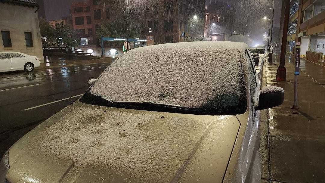
It was a bit of a shocker, waking up to a coating of ‘that white stuff’ on lawns Friday morning. Snow in October in Minnesota isn’t exactly Earth-shattering news, but this is earlier than normal.
WCCO Chief Meteorologist Paul Douglas, speaking with the Morning News with Vineeta Sawker, says this is the worst of it. For now.
“So for the most part, most of the roads in the immediate metro are wet,” says Douglas. “And that's going to be the case today (Friday). We bottomed out. This is as cold as surface temperatures will get.”
There is a slight chance of more precipitation Friday afternoon. Even if a few flakes mix in, it should mainly be wet says Paul.
“I think we'll get up to 40, maybe 42. So there could be a few more snow showers and rain showers mixed, but I expect wet roads today,” Douglas told Vineeta.
Despite the slushy coating in the Twin Cities area, parts to our north did see a couple of inches.
Paul Douglas' Forecast:
Friday- High 45. Slight chance of some evening precipitation.
Saturday- Mostly cloudy, wintry mix up north. High 50, low 34.
Sunday- More gusty and chilly. High 47, low 42.
Monday- A little more sun but still cold. High 42, low 30.
Is this early for snow? Short answer is yes.
We're getting a taste of mid-November Douglas explains.
“This is typical for a little bit closer to Thanksgiving. The first snow is coming quite a bit earlier,” Douglas said. “Last year we had our first flurries on November the 11th. So a bit of a startling wakeup call that winter is in fact coming.”
The Twin Cities’ National Weather Service says the first two weeks of November is our most popular time for a first snow.
When it does snow this early, Douglas adds, it doesn’t usually stick around and that should be the cast this year. We’re not done with pleasant fall temperatures yet.
“Even when it gets this cold, this snowy early in the season, we normally have a couple of spells of Indian summer, and I think we'll still see one of those late next week,” Douglas predicts. “Up near 70 next Friday, Saturday and Sunday. The model's pretty consistent in warming us up at least into the sixties and I wouldn't be shocked to see some low seventies by next weekend. But it's going to be chilly right through Tuesday, Wednesday, and then we come out of it a hard freeze early next week.”
Douglas says even if you have lived in Minnesota your whole life the first snow of the season is a jarring event.
“Many of us have been here for decades,” Douglas says. “We were born here, and yet there's something about that first snow. There's a combination of excitement and terror. It's like, ‘Oh, I hope I remember how to drive on slush.’”
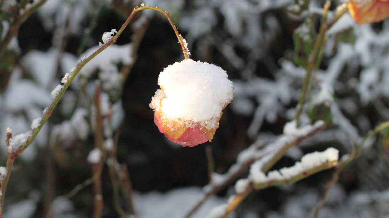
The growing season is (mostly) over.
Many spots outside the metro have already seen 28 or colder for a few hours, which means the growing season for almost everything has come to an end. Douglas says Friday’s weather should pretty much wrap it up in the metro area now.
“I think the growing season pretty much over now, for most of the metro,” Douglas said. “Or it will be by Tuesday.”
The University of Minnesota Extension Service provides a handy calendar for taking care of your garden by season. That includes what you should be doing to take care of your plants and gardens as we hit the freeze season.
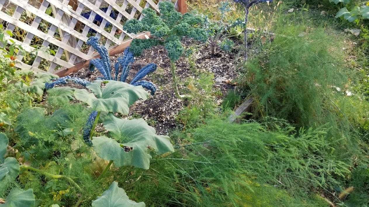
There are a few things you could take inside (hopefully you already did) to keep them alive for a bit longer. Hardier vegetable plants like squash may hang on for a bit longer.
Classifying snow events.
Douglas explained that he classifies snow into three, maybe four categories when he gives his weather forecast.
“The science isn't there yet," he says. "We can't predict down to the inch, and don't pretend we can. There are three classifications of snow events.”
Paul Douglas' snow event classifications are:
Nuisance Snow- Not a big deal. People get around maybe a little bit slower.
Plowable Snow- Enough snow to plow or shovel, with 2-4 inches.
Crippling Snow- Then there's crippling where everything shuts down.
“I would add one more classification,” explains Douglas. “I think today's snow is more of a decorative snow. It's accumulating, at least in the metro, mainly on lawns and other surfaces. The tops of cars, patios, grills, we're getting a little bit of slush. But the road temperatures are just at or above freezing.”