DETROIT (WWJ) – Thursday's unusually warm weather in Michigan broke a few records.
The National Weather Service says temperatures in Flint reached 63 degrees, breaking the old daily record of 62 on Dec. 16, 1984.
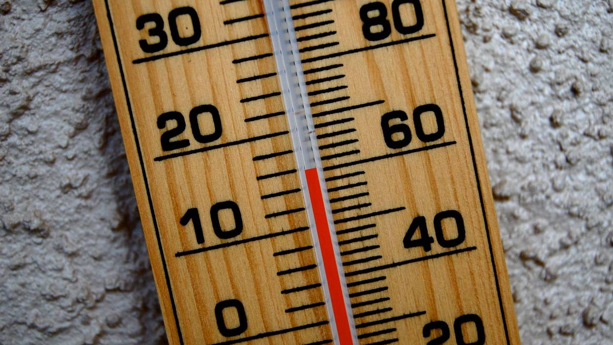
Temps climbed to 62 in Saginaw on Thursday, also breaking the previous record of 60 on the same day in 1984.
While temperatures topped out at 62 in Detroit, no records were quite broken in the city on Thursday. The previous high of 65 on Dec. 16 also came in 1984.
Wind chills, however, made it feel a little a little colder across the metro Detroit area Thursday, with wind gusts of 45 mph reported in some areas. A Wind warning remained in effect across the area until Thursday evening.

The high winds struck all across Michigan, including at the Mackinac Bridge, which announced partial closures Thursday.
Thursday's unseasonably warm weather won't stick around for too long, though.
AccuWeather says Thursday night will be cold and blustery, with the low dropping to just 31 degrees.
The high is only expected to reach about 42 on Friday, with rain, sleet and snow expected to the west of the city, potentially causing some slippery spots on the roadways. The low is 32.
AccuWeather meteorologist John Feerick says there could be "a slushy inch or two" on accumulating snow on Saturday.
AccuWeather's Brian Thompson told WWJ last week it could be bad news for Michiganders hoping for a White Christmas this year.
He predicted this week's warmup would be a major factor in keeping snow off the ground for the holiday.
"That takes away kind of a week before Christmas that can sometimes deliver snow, and if it's cold enough sometimes we can keep the show on the ground," he said last week.
"Now there are signs that it will turn colder toward Christmas... but the question is will we have any opportunities for snow by then?"
It's not totally off the table, Thompson said.