GRAND RAPIDS (WWJ) -- While it's not quite the five feet they could get in Buffalo, New York, parts of Michigan are seeing record-setting snow — with more on the way this weekend.
National Weather Service Meteorologist Nathan Jeruzal expects the Grand Rapids area will see more than 20 inches of snow piled up before an early winter storm starts to taper off by Saturday night and Sunday.
Jeruzal said that's after some areas in west Michigan have 10 inches of accumulation on the ground on Friday.
The November 17 snowfall record was broken in Grand Rapids on Thursday.
"It was 7.6 inches that fell between midnight and midnight, and the previous record was 7.1 inches that was set back in 1989," Jeruzal told WWJ's Greg Bowman.
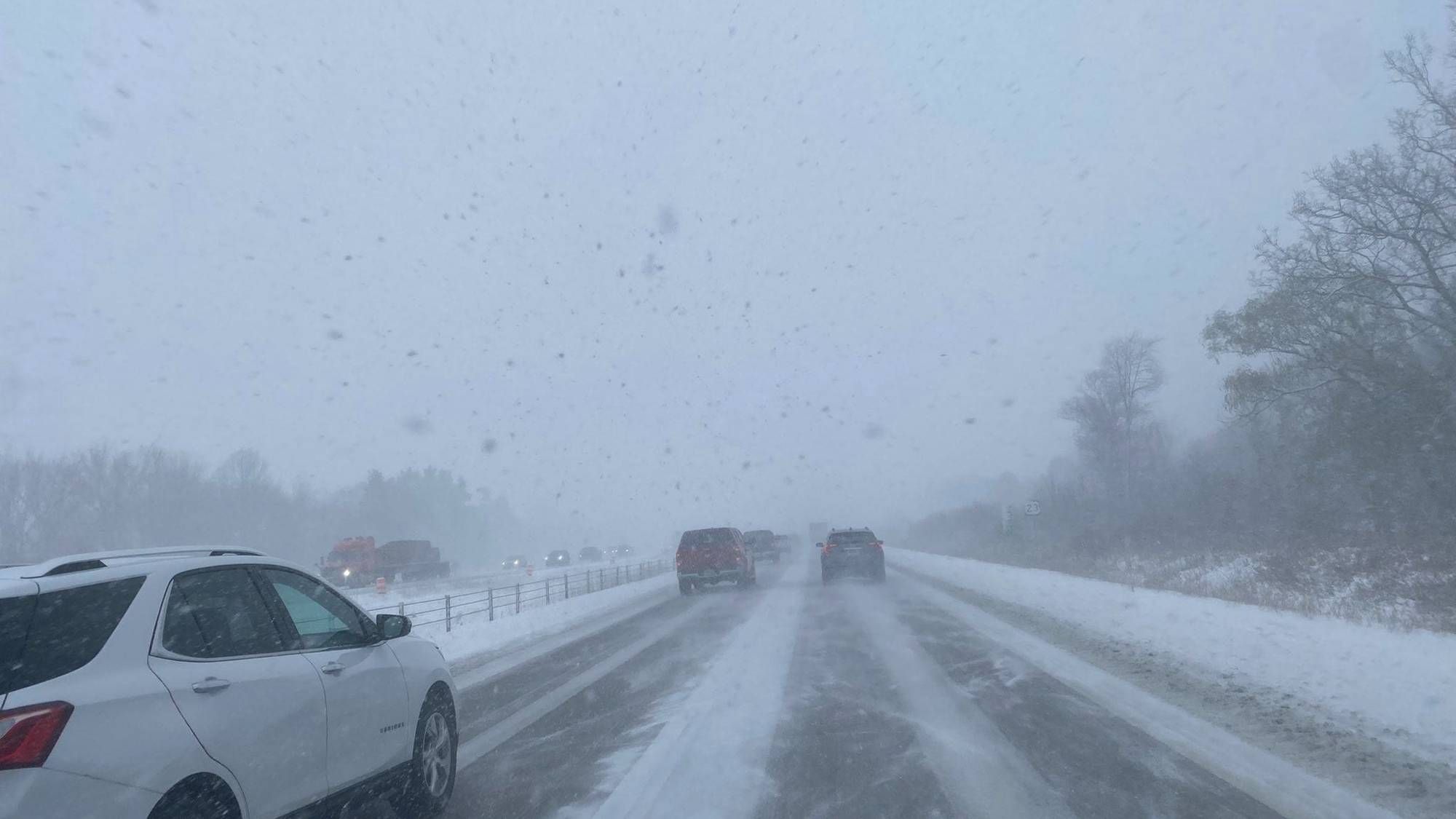
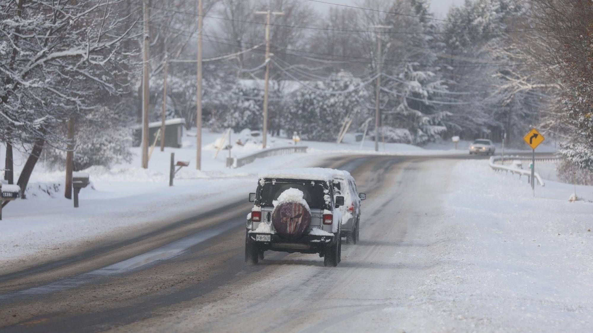
Roads were reported to be treacherously icy across western Michigan on Friday.
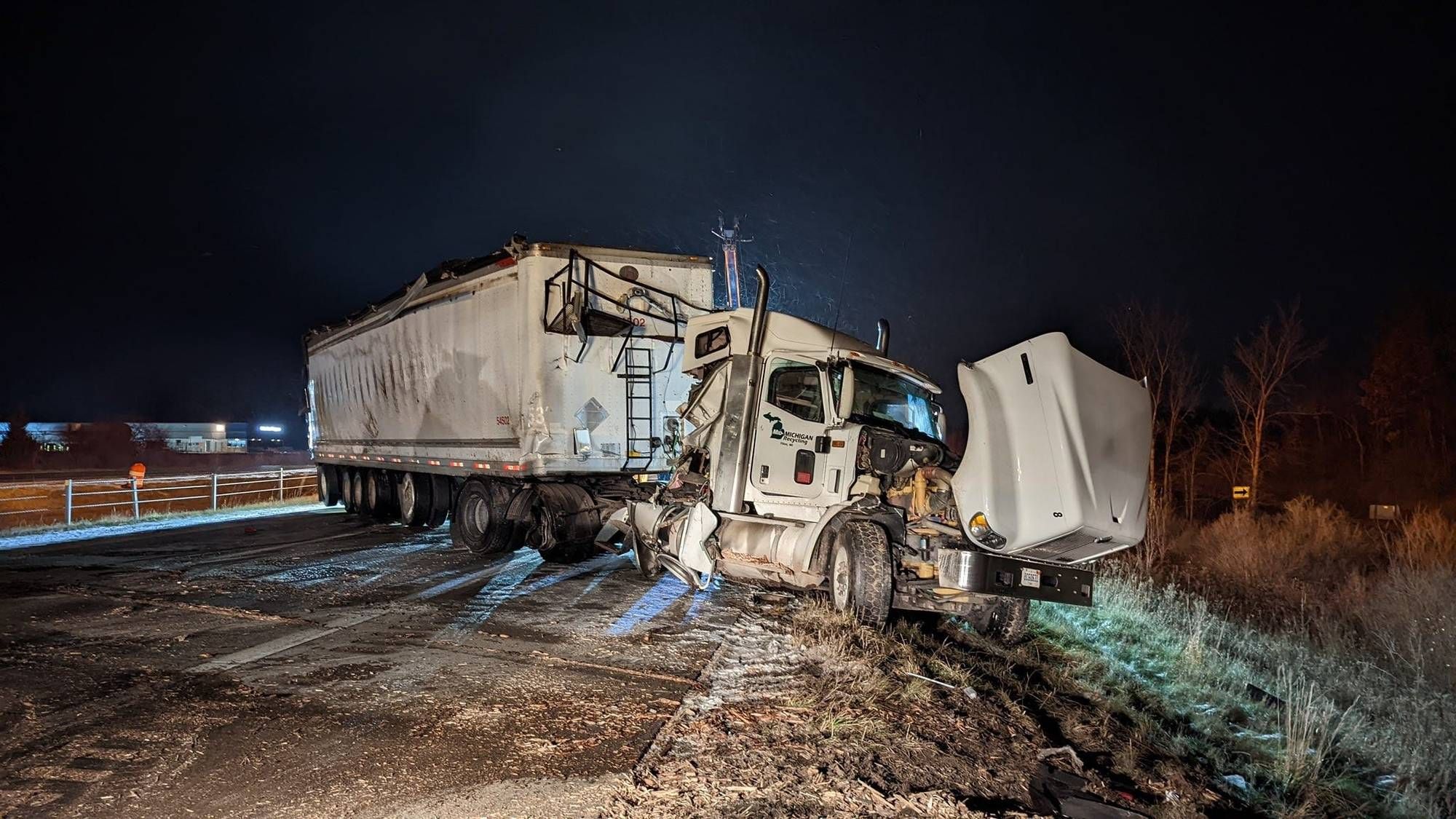
On southbound US 131 near Portage, Michigan State Police said two semis, a box truck and seven cars were involved in a crash. Thankfully, there were no injuries.
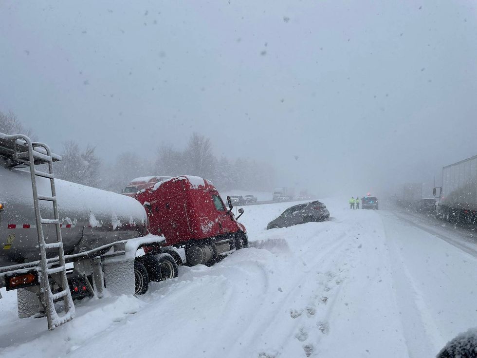 Scene of a crash on a slick US 131 in southwest Michigan.Michigan State Police
Meanwhile, MSP said multiple crashed on a slick northbound US 131 had the highway closed for cleanup, midday Friday.
Up North, NWS Gaylord said snowfall would continue Friday, dropping several additional inches of snow across parts of northern Michigan. Localized amounts of 12"or more will be possible east of Grand Traverse Bay, while forecasters warn that snowfall rates of one inch per-hour will lead to dangerous travel at times.
Bowman asked Jeruzal whether all this snow in Michigan is part of the same storm that's walloping New York.
"They are connected, and a lot of this snow is lake-effect," Jeruzal said. "So, you have a big system that's up in Ontario that's just kind of rotating these little disturbances around the area, and they're interacting with the Great Lakes, you know, pulling moisture and heat from the Great Lakes and producing the show showers."
"So (the snow) we're seeing here in the western part of the state especially, and you see a little bit there in the eastern part of the state...but then it also is affecting Lake Erie and going right down the lake there into Buffalo," he said. "So, yeah these two are connected, and it all has to do with the Great Lakes,"
In the Metro Detroit area, cautious travel is advised as NWS says blowing and drifting snow, coupled with gusty winds could cause whiteout conditions, making driving hazardous. While there won't much local accumulation, forecasters say briefly heavier bursts of snow may lead to slippery roads particularly on bridges, exit ramps and overpasses.
In a Special Weather Statement issued for Macomb, Oakland and Livingston Counties on Friday, forecasters say a dusting of snow can be expected. Some areas will see briefly heavier bursts of snow will see quick accumulations up to half-an-inch.
Late Friday afternoon, callers to the WWJ Traffic Center warned of icy, dicey conditions in the area of I-75 and M-59 in Oakland County.
The NWS said there would be more snow showers in Metro Detroit on Saturday and Saturday night, with slick travel and patches of hidden black ice an ongoing concern.
Jeruzal said the snow, not matter how much. combined with cold temps means all drivers need to be careful on the roads on Friday and into the weekend.
Michigan residents are urged to use caution and account for the variable driving conditions by allowing extra time to get there they need to go.