


Another heat advisory for your Tuesday. Expect near record heat.
WWL-TV’s Meteorologist Dvae Nussbaum says, “Upper-level ridge of high pressure remains over western Texas and Louisiana is on the eastern edge of it. We will need to watch out for some showers and storms to develop late-morning and continue into the early evening. Some could have gusty winds, heavy rain and plenty of lightning. We will have another very hot and very humid day with near record highs in the upper 90s. Expect dangerous heat indices around 108-113°. A Heat Advisory is in effect again. Make sure you stay in the A/C, keep hydrated and check on those without A/C.”
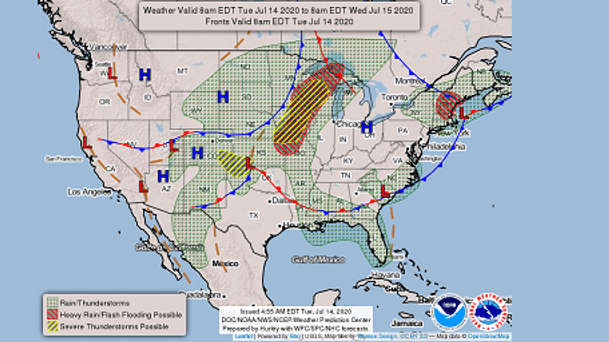
Good Morning! It's July 14, 2020 at 05:00AM. Here is a look at your forecast today. #lawx WWLTV pic.twitter.com/8h3GpfmPNS
— Dave Nussbaum (@Dave_Nussbaum) July 14, 2020TODAY: Partly cloudy, very hot and humid with a 30% chance for showers and storms. Highs: 97, heat index 108-113. Wind SW 5-10 mph.
TONIGHT: Partly cloudy, warm and muggy with a 20% chacne for showers. Lows north: 79 and south: 81. Wind SW 3-7 mph.
WEDNESDAY: Mostly cloudy, hot and humid with a 60% chance for showers and storms with heavy rain. Highs: 92, heat index 105-110. Wind S 5-10 mph.
THURSDAY: Sun/cloud mix, hot and humid with a 40% chance for showers and storms. Some downpours. Lows north: 77 and south: 80. Highs: 94.
FRIDAY: Partly cloudy, hot and humid with a 20% chance for showers and storms. Lows north: 77 and south: 80. Highs: 95.
SATURDAY: Partly cloudy, hot and humid with a 20% chance for showers and storms. Lows north: 78 and south: 80. Highs: 94.
SUNDAY: Sun/cloud mix, hot and humid with a 40% chance for showers and storms. Lows north: 78 and south: 80. Highs: 93.
MONDAY: Sun/cloud mix, hot and humid with a 40% chance for showers and storms. Lows north: 77 and south: 80. Highs: 93.


