Hot and humid today, temperatures will climb to the 90s.
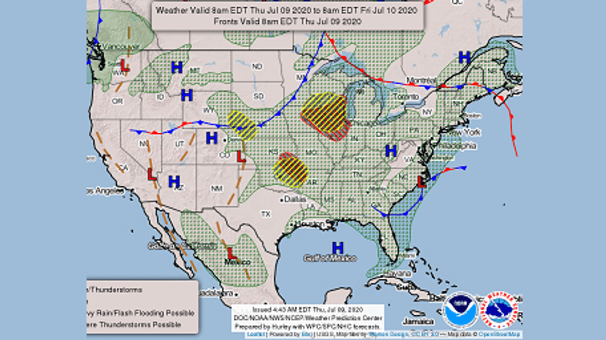
WWL-TV’s Meteorologist Dave Nussbaum says, “An area of high pressure remains over the northern Gulf of Mexico and it is pumping in a lot of Gulf Moisture. There is also a large ridge of high pressure aloft will build over New Mexico and central Texas today through Friday. Louisiana will be on the eastern edge of it, so we will have little to no rain. It will be mostly sunny, hot and very humid today with just a stray shower mainly along the MS Coast. High temperatures will climb into the mid 90s and it will feel like 105-110°. Please take it easy if you have to be outdoors and stay hydrated! Tonight will be mostly clear and muggy with lows in the 70s north and 80s south.”
Here is comes! Very hot and humid weather returns today and lasts into next week! -- #lawx #mswx #BeOn4 @WWLTV pic.twitter.com/e8SS9MRJ7w
— Dave Nussbaum (@Dave_Nussbaum) July 9, 2020Here is your detailed forecast:TONIGHT: Mostly clear, warm and muggy. Lows north: 76 and south: 80. Wind W 3-7 mph.
FRIDAY: Mostly sunny, hot and humid with a 10% chance for showers and storms. Highs: 96, heat index 105+. Wind NW 5-10 mph.
SATURDAY: Partly cloudy, hot and humid with a 20% chance for showers and storms. Lows north: 77 and south: 81. Highs: 96.
SUNDAY: Partly cloudy, hot and humid with a 20% chance for showers and storms. Lows north: 78 and south: 82. Highs: 97.
MONDAY: Partly cloudy, hot and humid with a 20% chance for showers and storms. Lows north: 79 and south: 82. Highs: 96.
TUESDAY: Partly cloudy, hot and humid with a 20% chance for showers and storms. Lows north: 79 and south: 82. Highs: 96.
WEDNESDAY: Partly cloudy, hot and humid with a 30% chance for showers and storms. Lows north: 79 and south: 81. Highs: 94.