


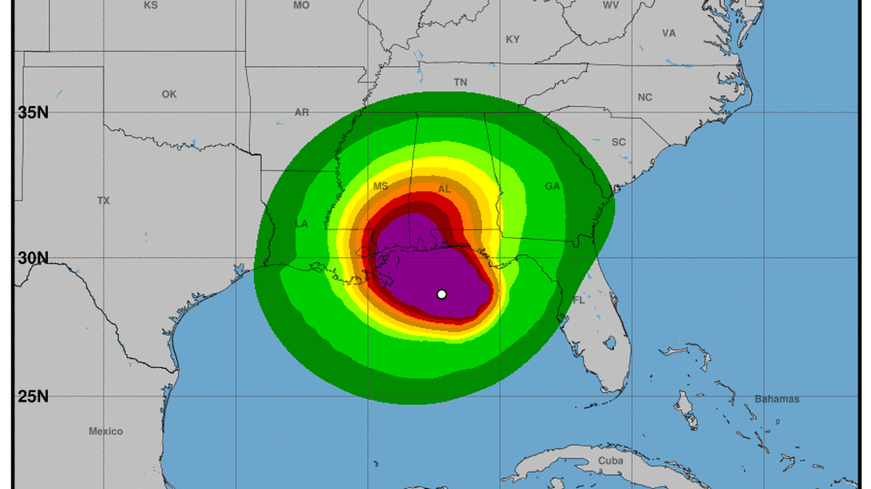
The latest update from the National Hurricane Center says Hurricane Sally’s outer bands of heavy rain and strong winds are moving their way onshore in the Florida panhandle. The NHC’s latest track has Sally 100 miles from the mouth of the Mississippi river and about 135 miles southeast of Biloxi Mississippi. This prompted Mississippi officials to close beaches and casinos along the Mississippi Gulf Coast on Monday.
According to the National Hurricane Center, Sally is moving toward the west-northwest at nearly 5 mph, which is expected to continue through Tuesday afternoon.
Landfall is expected near Pascagoula, Mississippi early Wednesday. The worst of the impacts are expected along the Mississippi and Alabama Gulf Coast.
Hurricane #Sally Advisory 14A: Outer Rain Bands of Sally Moving Onshore in the Florida Panhandle. Life-Threatening Storm Surge, Hurricane-Force Winds, and Flash Flooding Likely Along Portions of the Northern Gulf Coast Starting Later Tonight and Tuesday. https://t.co/VqHn0u1vgc
— National Hurricane Center (@NHC_Atlantic) September 14, 2020The forecast track has the eye of the storm slowly moving north-northeastward moving the storm close to southeastern Louisiana late Tuesday night.
Data from the Hurricane Hunters’ reconnaissance plane shows sustained winds near 100 mph with hurricane-force winds extending up to 25 miles outward from the storm’s center. Tropical-storm-force winds extend 125 miles from the storms eyewall. The NHC says a weather buoy offshore of Orange Beach, Alabama measured winds of 49 mph and wind gusts up to 60 mph.


