


Today is looking warm and muggy with a few chances of scattered showers.
WWL-TV’s Dave Nussbaum says, “A cold front will move closer to us today and an upper-level disturbance/wave will pass just north of SE Louisiana. Together, these systems will make it mostly cloudy, warm and humid with a few showers and storms today. A few strong storms are possible along the LA/MS border with gusty winds and hail. High temperatures will be in the mid 80s. The cold front will move through tonight with a small line of showers. There is a Marginal Risk (Level 1 of 5) for severe weather across SW Mississippi. A few storms could be strong with gusty winds and hail. Lows will be in the mid to upper 60s.”
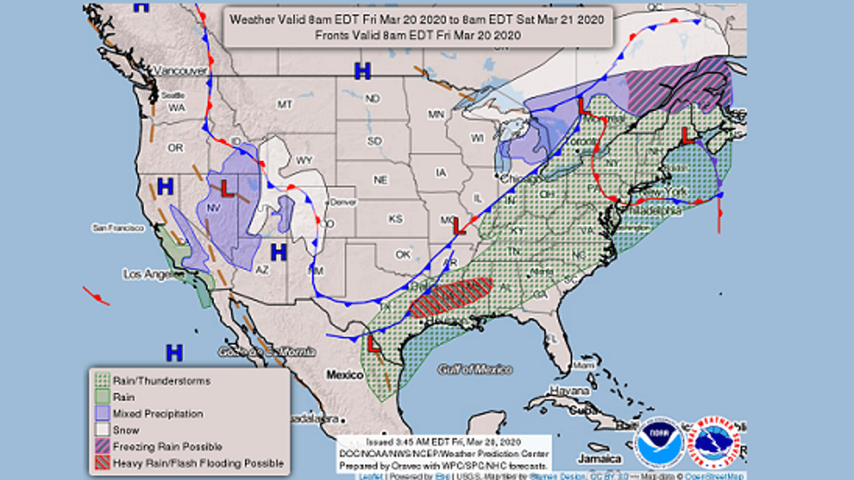
Here is a look at the 7 Day Forecast for the New Orleans area: WWLTV #lawx pic.twitter.com/shFY6sxGxQ
— Dave Nussbaum WWL-TV (@Dave_Nussbaum) March 20, 2020Here is your detailed forecast:FRIDAY:
Sun/cloud mix, warm and humid with a 20% chance for a few showers. Highs: 85. Wind SE 6-12 mph.
TONIGHT:
Cloudy with a 50% chance for scattered showers. Lows north: 64 and south: 68. Wind NE 5-10 mph.SATURDAY:
Mostly cloudy and mild with a 50% chance for scattered showers. Highs: 77. Wind NE 5-10 mph.
SUNDAY:
Mostly cloudy and warmer with a 50% chance for scattered showers and storms. Lows north: 63 and south: 66. Highs: 80.
MONDAY:
Partly cloudy and warmer with a 20% chance for showers. Lows north: 65 and south: 67. Highs: 81.
TUESDAY:
Partly cloudy and warmer. Lows north: 65 and south: 68. Highs: 84.
WEDNESDAY:
Partly cloudy and warm. Lows north: 66 and south: 70. Highs: 85.
THURSDAY:
Partly cloudy and very warm. Lows north: 67 and south: 70. Highs: 88.


