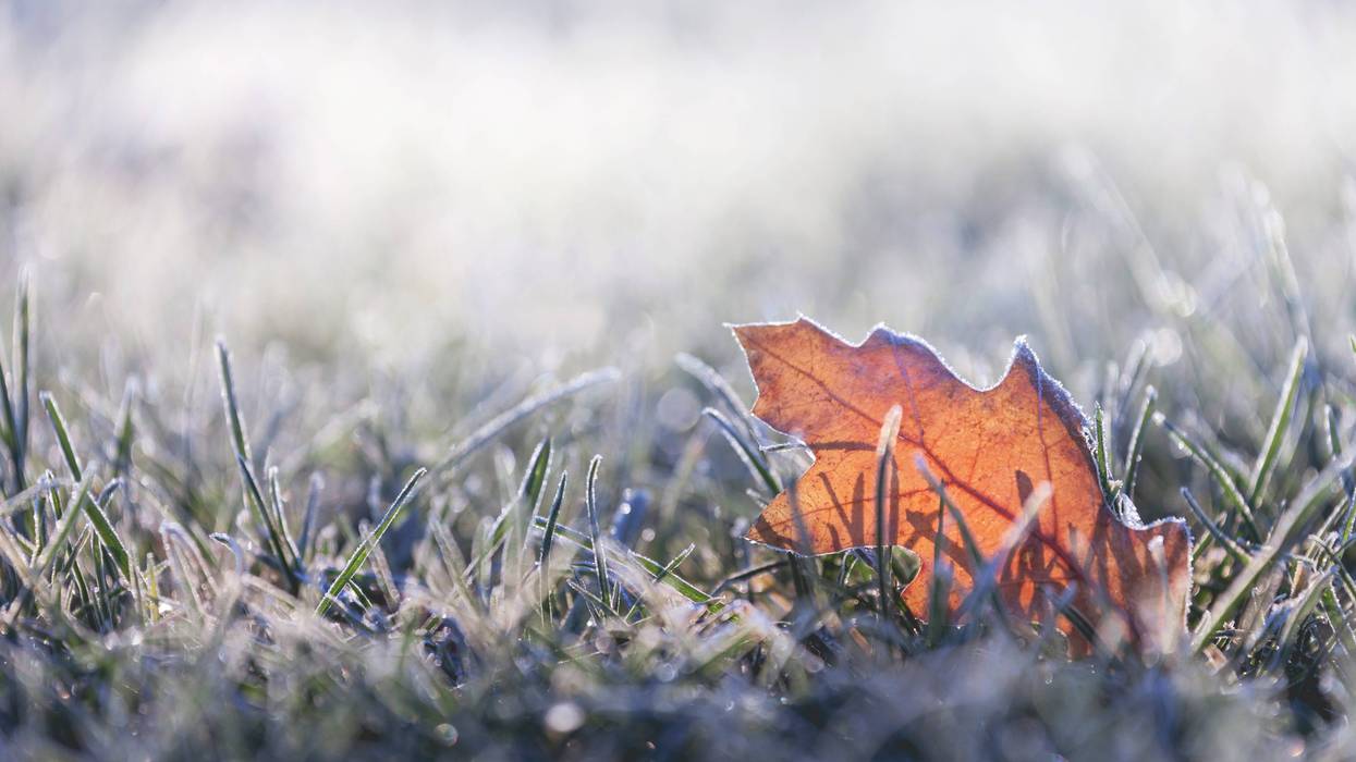
Get ready for a frozen Christmas morning north of the lake with frost on the Southshore.
"Tonight will be clear, cold and windy for Santa's arrival in New Orleans," WWL TV Meteorologist Payton Malone forecasts. "Lows will be in the upper 20s north and 30s south - perfect weather for Santa!"
It is not perfect weather for tender vegetation and pets.
"Make sure you protect plants, pets and people."
Malone says it will be a pretty day.
"Christmas Day will be gorgeous and cold as the area of high pressure sits over the Deep South. Expect sunshine, a breeze and high temperatures only in the lower 50s."
More cold, frosty air for Christmas night.
"Lows across the Northshore will be in the upper to mid 20s with a freeze and frost.
The Southshore will be in the low to mid 30s with frost. Make sure you protect your plants, pets and people."
Detailed forecast
TONIGHT:
Clear, breezy and cold. Lows north: 29 and south: 35. Wind W 10-20 mph.
FRIDAY - CHRISTMAS:
Sunny, breezy and chilly. Highs: 51. Wind NW 10-20 mph.
SATURDAY:
Mostly sunny and cool. Lows north: 27 with a light freeze/frost, and south: 35 with frost. Highs: 56.
SUNDAY:
Mostly sunny and warmer. Lows north: 35 and south: 42. Highs: 66.
MONDAY:
Mostly cloudy and warmer with a 20% chance for showers. Lows north: 48 and south: 52. Highs: 71.
TUESDAY:
Mostly cloudy and cooler. Lows north: 48 and south: 53. Highs: 68.
WEDNESDAY:
Mostly cloudy and warmer with a 40% chance for showers and a few storms. Lows north: 53 and south: 58. Highs: 71.