


A hard freeze warning is in effect until Tuesday morning. A wind chill advisory also in effect until noon.
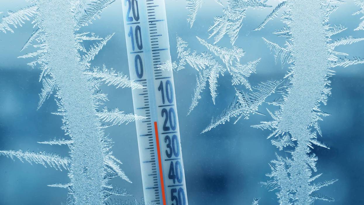
WWLTV’s Meterologist Alexandra Cranford says, “Today's Arctic cold will rival the coldest Mardi Gras Day on record set on February 14, 1899.
That day our low was 22F and our high was 38F - and we'll be close to those temperatures today.”
Here is your detailed Mardi Gras forecast:
MARDIGRAS MORNING: Record cold! Overcast skies. Dangerous wind chills. Hard Freeze N & S. Low: S 22, N 17. Winds: NW 8-15.
MARDI GRAS: Frigid morning. Cold afternoon. More sunshine! Winds diminish. High: 38. Winds: N/NE 5-10.
ASH WEDNESDAY: Freezing AM. Mostly cloudy. 60% scattered showers, continue overnight. Breezy. Chilly temps. Low: S 32, N 27. High: 57.
THURSDAY: 50% AM showers, falling temps. Mostly cloudy. Low: S 41, N 38. Afternoon High: 51.
FRIDAY: Early clouds, then sunny. Morning freeze. Breezy early.
Staying cold. Low: S 32, N 27. High: 45.
SATURDAY: Freeze North. Sunny skies, very pleasant. Chilly. Low: S 38, N 29. High: 57.
SUNDAY: Increasing clouds. Stray shower. Breezy, warmer. Low: S 49, N 45. High: 67.
MONDAY: Mostly cloudy. 30% spotty showers. Breezy early. Warm early, falling temps late. Morning 60s, Afternoon High: 68, then falling to 40s and 50s late night.


