


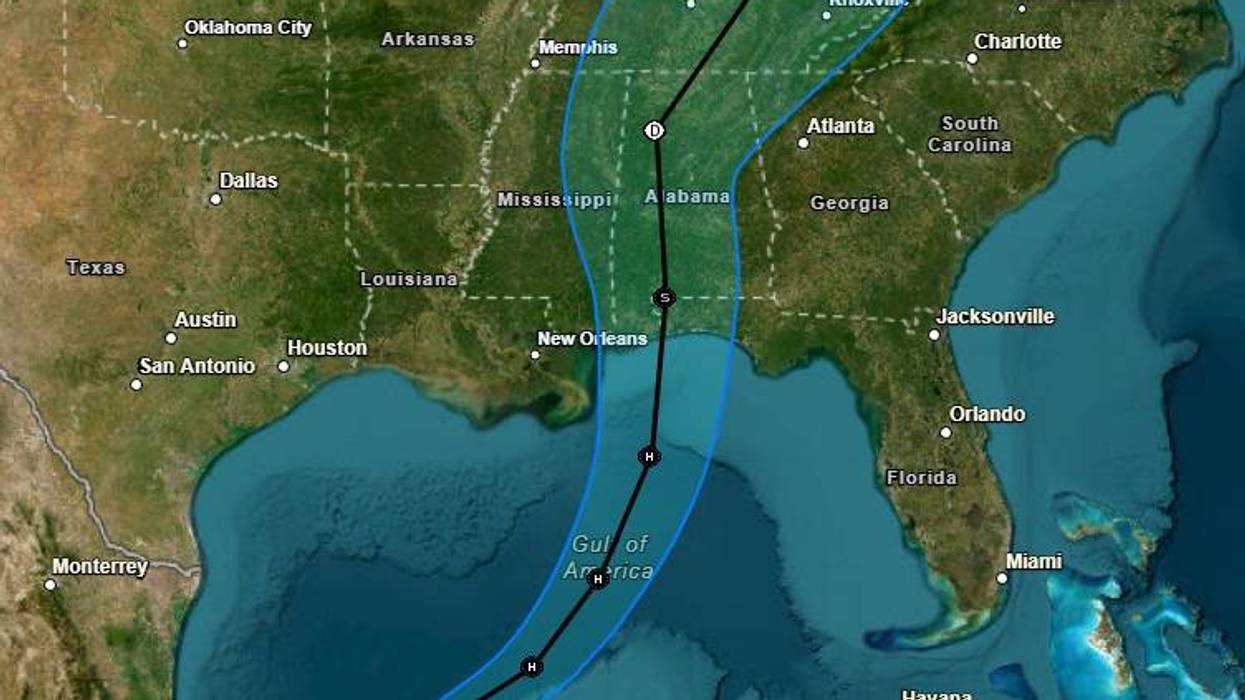

Tropical Storm Isaias has intensified and the National Hurricane Center has adjusted its forecast for the storm's landfall slightly to the east.
The storm has maximum winds of 65 miles per hour as it moves east at eight miles per hour.
"A strengthening Atlantic subtropical ridge should cause the system to move faster to the northeast tomorrow and northward on Friday," said Eric Blake, Senior Hurricane Specialist at the hurricane center. "As long as the cyclone remains intact, it makes physical sense that the system will move on the faster and eastward side of the guidance due to the stronger shear Isaias should encounter near landfall."
The forecast is now shifting projected landfall slightly east.
Despite the shift in forecast, a tropical storm watch remains in effect for the Louisiana coast from the Jefferson/Plaquemines line through the mouth of the Pearl River. The watch extends as far east as Bay. St. Louis, while a hurricane watch is posted for the coast from Bay St. Louis to Indian Pass, Florida.
Latest projection nudges landfall eastward
Latest projection nudges landfall eastward