


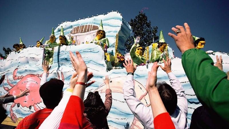
We are three weeks away from Fat Tuesday. Float parades in New Orleans begin a week from Friday. In the last week, we've gone from hard freezes to temperatures in the low 70s.
What can we expect from the weather when parades get rolling? While it's a little early for an exact forecast, decades of weather observation and record keeping may give us some clues.
So what does history show for New Orleans weather in the middle of February?
"On average, the maximum temperature is 66 degrees, the minimum is 49," said climatologist Barry Keim. "That's the climatic average."
Keim says the coldest it's ever been in New Orleans on February 13 was 25 degrees -- in 1958. And the record high for the day is 81 degrees -- set just a year later in 1959.
As for rain, Keim says the almanac appears in our favor.
"On February 13th, going back to 1946, that's 77 year's worth, 22 of those days had some rainfall, so that gives us a 29 percent chance of getting rain some time on February 13th," he said.
That does not mean this Mardi Gras has a 30 percent chance of rain, but historically, that's how often it has rained on that date.
Bear in mind this is an El Niño winter, and the Climate Prediction Center expects New Orleans' winter to be a little wetter, and a little warmer, than average.


