Water as high as 15 feet could be pushed into the Louisiana coast from Cameron Parish to the mouth of the Mississippi River Saturday, according to Nola.com.
Water could also be pushed as high as 11 feet on the river's eastern side, according to the outlet, which said is report was based on National Hurricane Center models and estimates.
Information from the center is updated regularly as the storm grows. Landfall is expected Sunday night.
Maps from the center do not give exact heights for specific areas as of Saturday afternoon, said Nola.com, which gathered the following data:
Maps indicate most of the New Orleans land bridge will be covered with water greater than nine feet, while water heights will be greater than nine feet in the northwest corner of Lake Borgne at the intersection of the Gulf Intracoastal Waterway and the Mississippi River-Gulf Outlet.
Water heights farther south – along the north side of the MR-GO – will be mostly above nine feet above the closure dam and six feet below it. Along the hurricane levees on the south side of St. Bernard Parish and all along the east side of Plaquemines Parish, water heights will be mostly greater than nine feet.
Surge modeling indicates water levels greater than nine feet extending well inland of Houma along the central Louisiana coastline, with Houma itself experiencing mostly levels of greater than three feet.
Water levels outside the levees that protect Morgan City are forecast to be mostly greater than six feet, with a mix of greater than three feet and greater than six feet water levels north of Morgan City. Much of Grand Isle and Port Fourchon are expected to see similar surges.
Areas along the Lake Pontchartrain shore west and east of Slidell could see a mix of surge levels, with some areas right on the water only seeing greater than three feet above ground, increasing in wetland areas to greater than six feet above ground.
The and northwest shore of Lake Pontchartrain are likely to see surge levels greater than nine feet above ground, with water that high stretching north along bayous into Covington. Greater than six feet water is possible in bayous leading to Lacombe and urge levels close to the shore in Mandeville are a mix of greater than six feet and greater than three feet, dropping to greater than one foot a bit further inland.
On the west shore of Lakes Pontchartrain and the west shores of Lake Maurepas, water levels of greater than nine feet in French Settlement and Maurepas as well as greater than six feet in Livingston, St. James and Sorrento. Water levels drop off to above one foot just north of Convent, Gramercy and Lutcher. LaPlace and Reserve water levels could be greater than 6 feet closer to the lake, dropping to greater than 3 feet just north of Interstate 10, dropping closer to the Mississippi River.
Water levels of greater than nine feet are possible along much of the West Bank hurricane levee system, with mostly greater than nine feet levels around Jean Lafitte, Barataria, lower Lafitte and Des Allemands. Surge heights could be as high as 15 feet along the Louisiana southern coast, and the surge maps' highest water level is greater than nine feet.
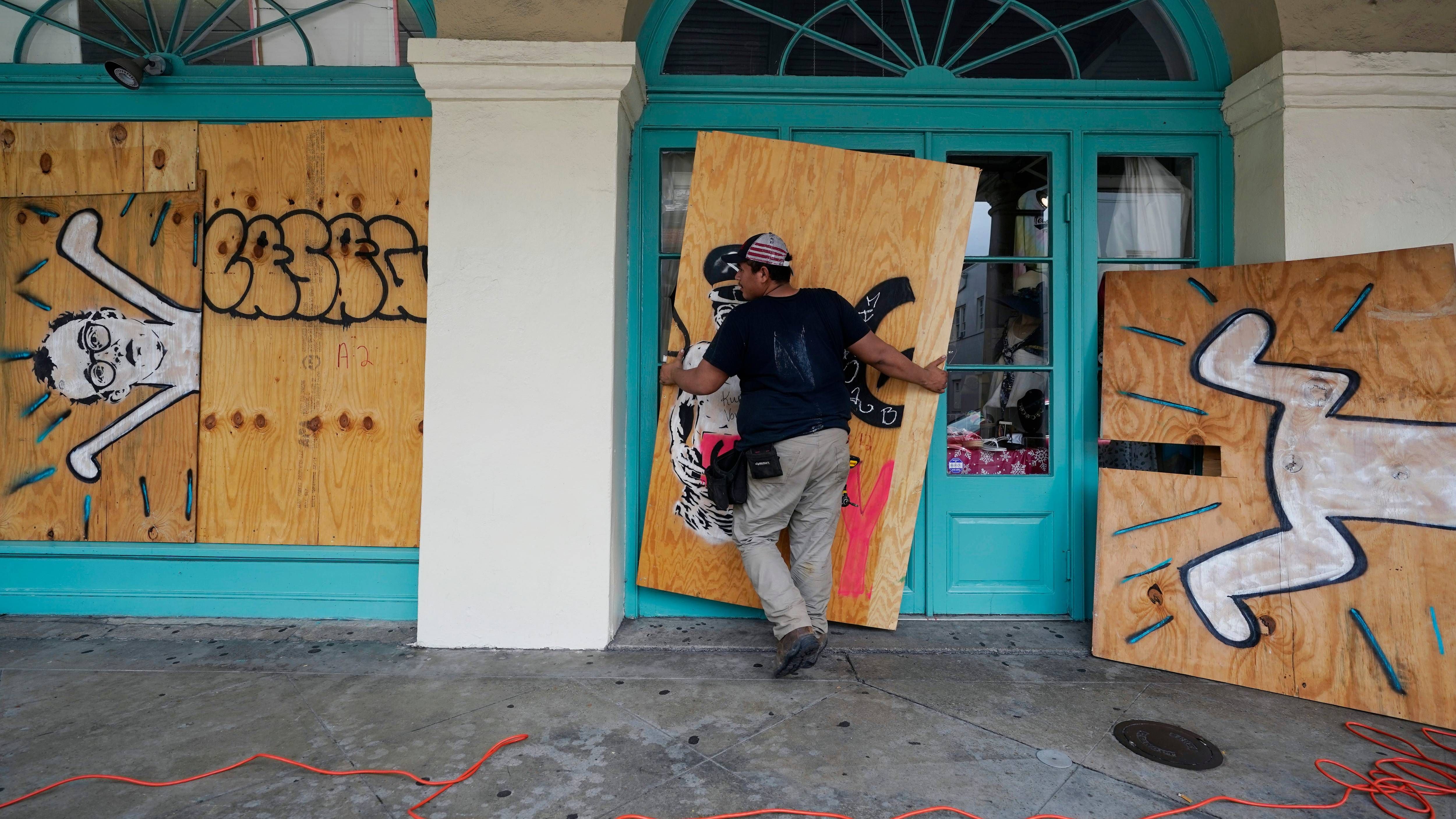
Always follow evacuation and other instructions from your local emergency management officials, Nola.com warned.