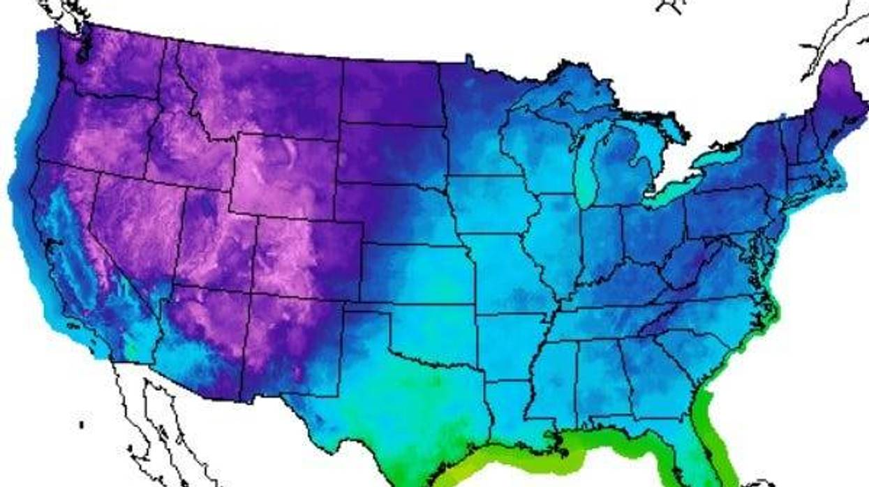
Forecasting computer programs show some significantly cooler air heading for Louisiana in about a week.
"Long-range models are beginning to hint at a strong upper trough to bring, perhaps, our first real cold front," WWL TV Meteorologist Payton Malone said. "As with all models, the farther out in time, the less reliable."
He says things could still change, but for now it appears we could see a good 20 degree drop in highs and lows by Sunday, October eighth.
"It's welcome to see the models trending this way! Stay tuned!"
He says we could see afternoon highs staying in the 70s behind the front, with overnight lows in the 50s.
Until then, expect more highs in the 90s and lows in the 70s.
Detailed Forecast
TODAY:
Partly cloudy. 40% showers along coast. Warm, humid. High: 87. Wind: E 10-15 mph.
FRIDAY:
Partly cloudy. 20% spotty showers mainly along coast. Breezy. Low: S 76, N 70. High: 88.
SATURDAY:
Partly cloudy. Isolated shower. Breezy. Less humid late. Low: S 75, N 69. High: 91.
SUNDAY:
Mostly sunny. Very warm, less humid. Breezy. Low: S 74, N 67. High: 91.
MONDAY:
Mostly sunny. Very warm, less humid. Low: S 73, N 66. High: 88.
TUESDAY:
Mostly sunny. Very warm, less humid. Low: S 73, N 64. High: 89.
WEDNESDAY:
Mostly sunny. Very warm, less humid. Low: S 72, N 62. High: 88.