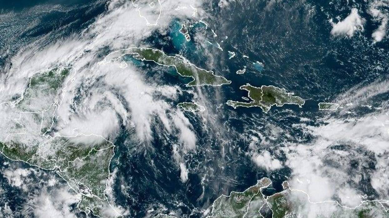
Tropical Depression 25 is now swirling in the northwestern Caribbean Sea. The National Hurricane Center says the wav they have been watching developed into a closed-circulation weather system based on satellite images. A U.S. Air Force Reserve Hurricane Hunter is set to investigate later today.
"Vertical shear should remain low for at least the next couple of days, so the cyclone is likely to become a tropical storm by the time it nears the Yucatan Peninsula
tomorrow," said Senior Hurricane Specialist Richard Pasch. "The main impediment to strengthening over the next few days should be the interaction with land."
Depression 25 could gain tropical storm strength over the next 24 hours, earning it the name Gamma.
The forecast calls for the storm to move slowly toward the Yucatan peninsula, making landfall near Cozumel, then emerge over the southern Gulf Of Mexico by the end of the weekend, The forecast then predicts a turn to the west, bringing the storm over the Bay of Campeche by the middle of next week.
WWL-TV meteorologist Dave Nussbaum says thanks to the cold front, this storm is not a threat to Louisiana.