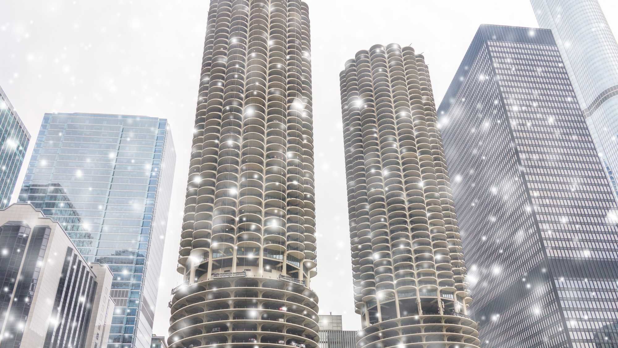


(WBBM NEWSRADIO) - There's no denying it, the Chicago area is experiencing its first taste of winter.
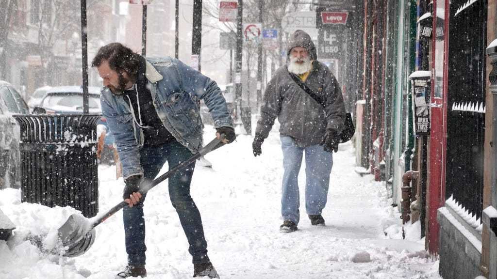
Snow showers began in the overnight hours and, according to AccuWeather, will continue intermittently throughout the morning. The flakes have begun to stick to the grass and certainly have caused some untreated roads to be slick. As we head into the afternoon, meteorologist Dean Devore expects some rain to be mixed in along the lakefront, south of the city, and in Northwest Indiana as well, with temperatures hovering a little above the freezing mark- at 38 degrees.
Devore believes another wave of snow showers will arrive late tonight and into the overnight hours. When it is all said and done, he forecasts accumulations reaching an inch or two near the lakefront, in the city and near suburbs and possibly up to four inches for some northern and western suburbs.
As of 9:30 a.m., here are the highest snow totals:
Plainfield: 3.5 inches
Bolingbrook: 3.5 inches
Downers Grove: 3.1 inches
Clarendon Hills: 3.1 inches
Woodridge: 2.3 inches
Batavia: 1.1 inches
Mundelein: 1.1 inches
Oak Park: 1 inch
Elgin: 1 inch
Mount Prospect: 1 inch
Aurora: 1 inch
Homewood: 1 inch
The National Weather Service has issued a Winter Weather Advisory for the entire area through 6 a.m. Wednesday. But, the rest of the week won't be a picnic either, as AccuWeather projects temperatures to turn even colder on Thursday and Friday. Your expected high on Friday: a brisk 24 degrees.
Listen to WBBM Newsradio now on Audacy!
Sign up and follow WBBM Newsradio
Facebook | Twitter | Instagram