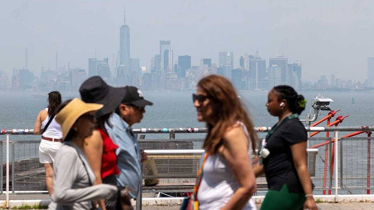
NEW YORK (1010 WINS) — The record-breaking New York City heat wave that has contributed to three days of large-scale power outages is nearing its end as a storm approaches, bringing down the temperature which has hovered around daily peaks of 100 since Monday.
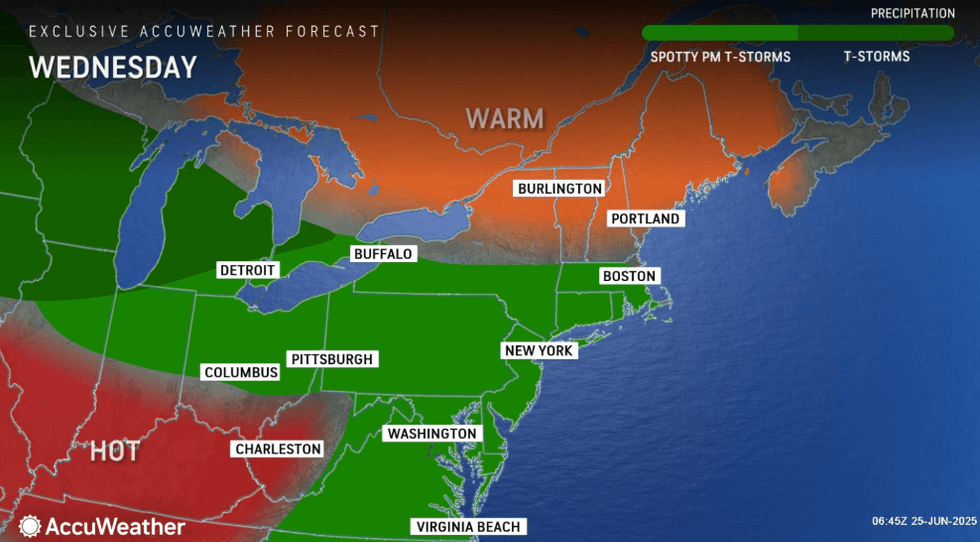
Dangerously hot temperatures and humidity remained in NYC on Wednesday, with a high of 96, according to AccuWeather. A heat advisory is in effect until 7 p.m. Wednesday, and the New York State Department of Environmental Conservation issued an Air Quality Alert for NYC, Long Island, Westchester and Rockland counties that lasts until 11 p.m.
 AccuWeather
Temperatures over 100 this week have led to the formation of ground-level ozone—a component of smog that is produced when sunlight reacts with industrial and vehicle emissions. Ground-level ozone can cause respiratory issues for at-risk groups.
As of 5:55 p.m., the NYC area's largest energy providers were still struggling with keeping the grid intact as outages gripped the city and beyond. Nearly 9,000 Con Edison customers across the five boroughs were dealing with outages come late afternoon, while 6,004 JCPL, 3,463 PSE&G NJ and 808 PSEG LI customers also were left in the dark.
 AccuWeather
 AccuWeather
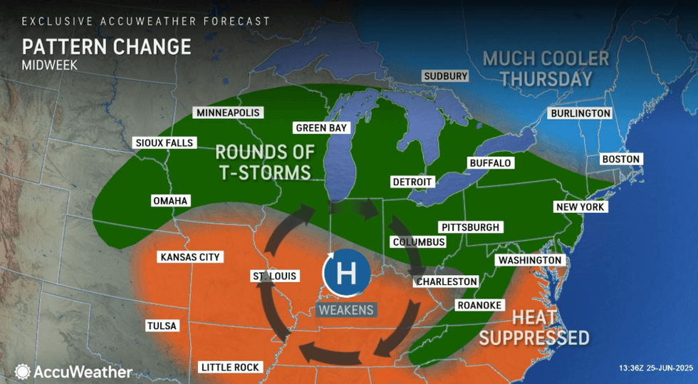
A thunderstorm will hit the NYC area late in the day, which could bring locally damaging winds and a heavy downpour, AccuWeather warned. It will be humid and warm, with the low dropping to 76.
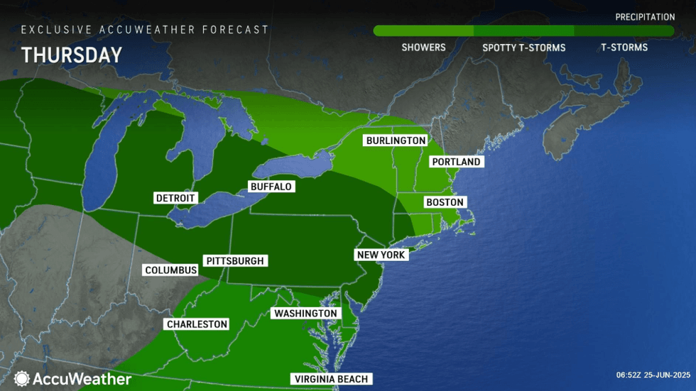
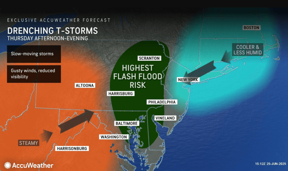
Thursday will have more clouds than sun, and it will be noticeably cooler and not as humid as another thunderstorm or two roll through. The high will be near 80.
 AccuWeather
 AccuWeather
In an even greater relief, it will be even cooler Friday, which will have a high of 72. AccuWeather said that it will remain mostly cloudy and even cooler with the spotty shower.
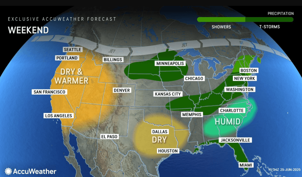
Clouds will stick around Saturday as the temperature jumps back up to 83. It will be humid and another thunderstorm in the area is expected, AccuWeather forecasts.