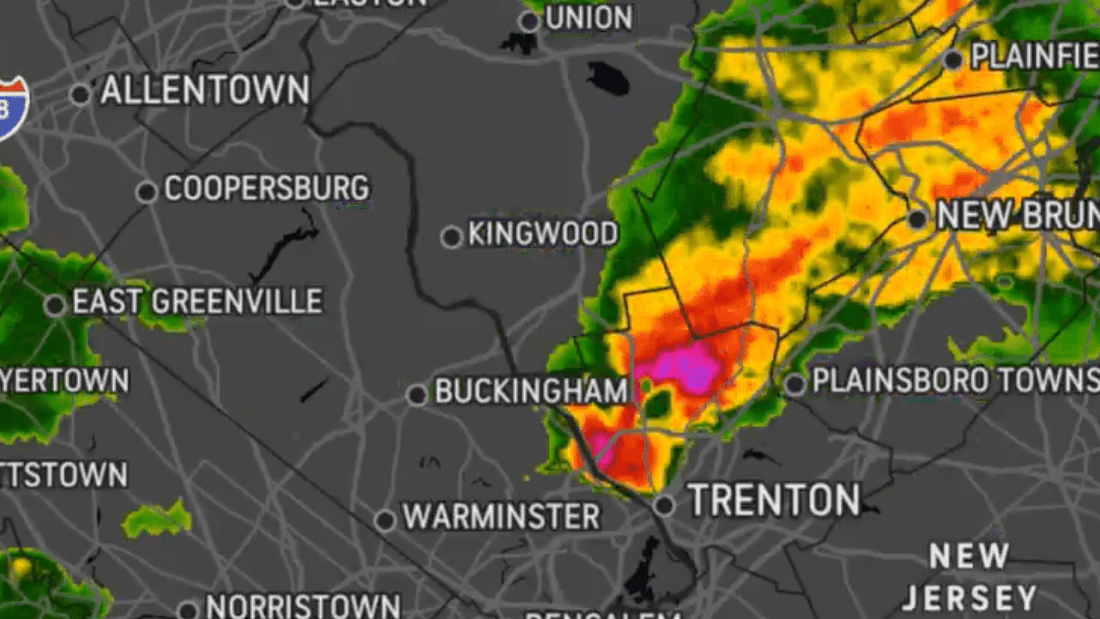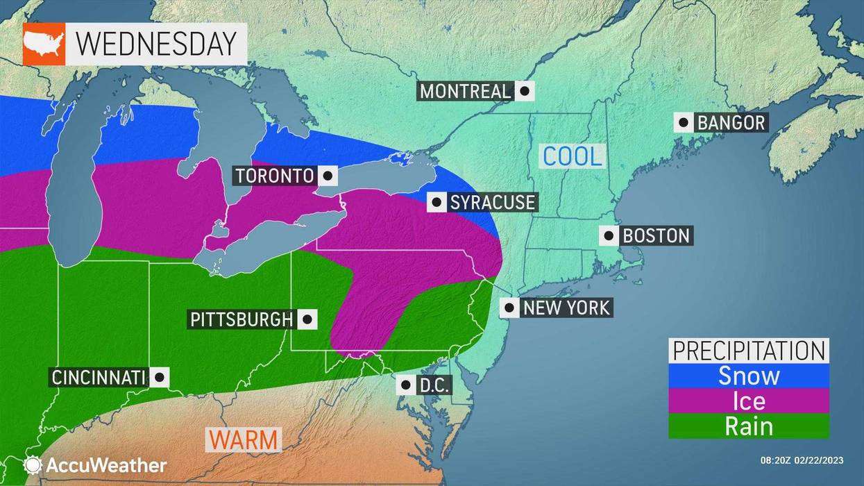
NEW YORK (1010 WINS/WCBS 880) -- Just a day after a tornado touched down in New Jersey, a winter storm will bring a mix of rain, sleet and snow to the New York City area on Wednesday.
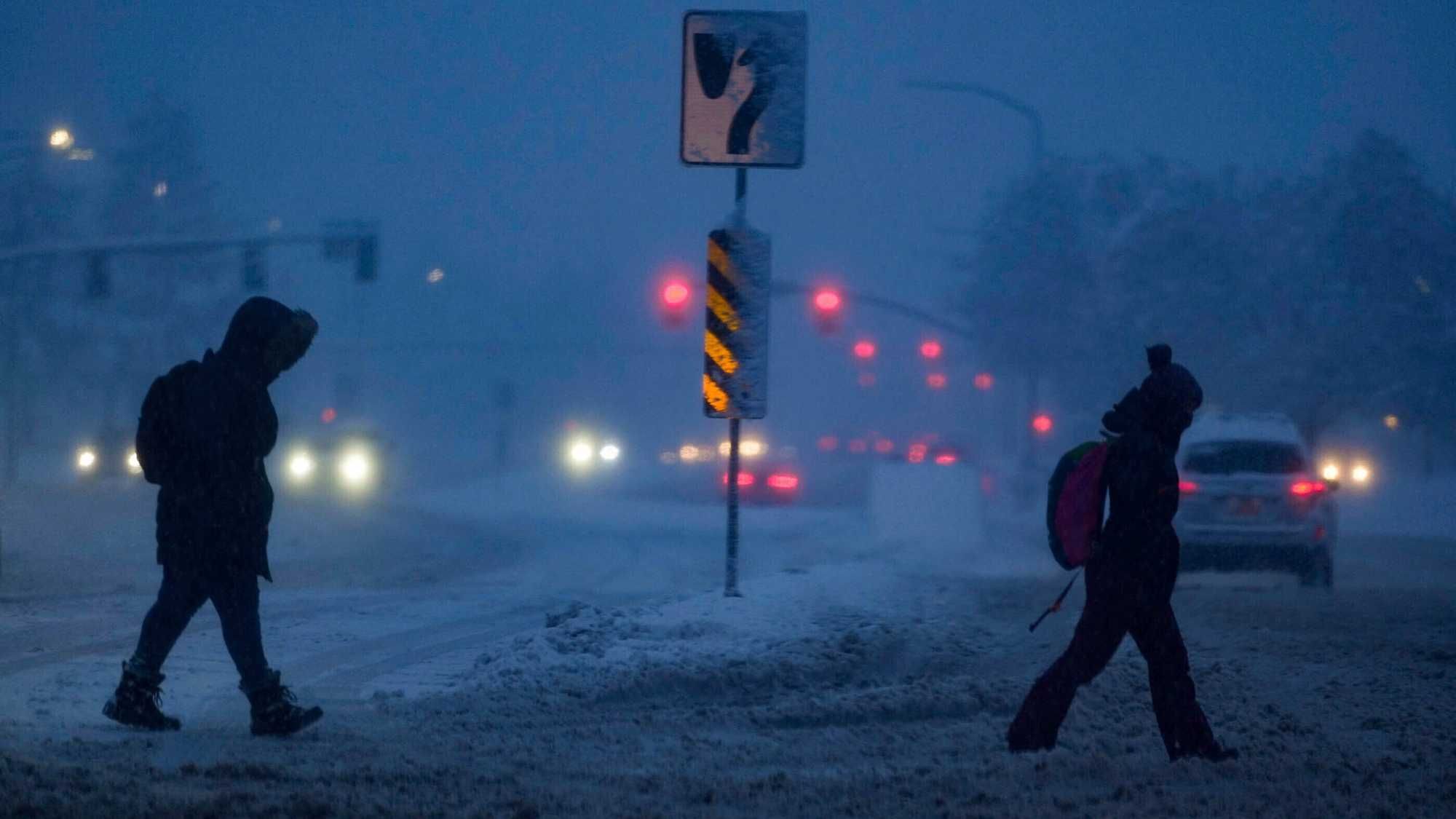
The blast of nasty weather will move in ahead of the evening commute, starting as a wintry mix before changing over to mostly rain, according to AccuWeather.
The five boroughs and coastal suburbs may see a couple hours of the wintry mix before the changeover around 3 p.m. or 4 p.m. Suburbs further north could hang onto the mix for an additional hour or two.
 AccuWeather
 AccuWeather
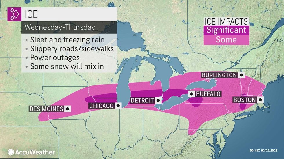
A winter weather advisory was issued for parts of the Hudson Valley, where 1 to 4 inches of snow are possible well north of the city.
Commuters should prepare for slow travel and watch out for icy conditions, especially further inland.
 AccuWeather
 AccuWeather
Wednesday's high will hit 45 before falling back into the 30s as the wintry mix arrives in the afternoon.
It will be damp and chilly on Wednesday night as lows dip to about 39 in the city and to the mid-30s inland. Some rain or drizzle may linger.
 AccuWeather
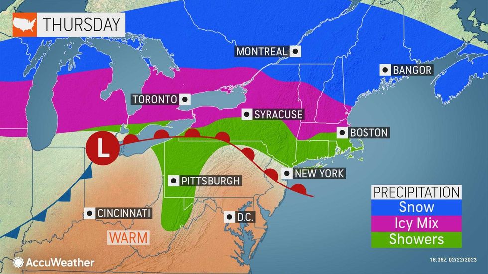
Unseasonably warm temps return yet again on Thursday, when the high will be about 51 in the city. Some spotty morning rain is in the forecast.
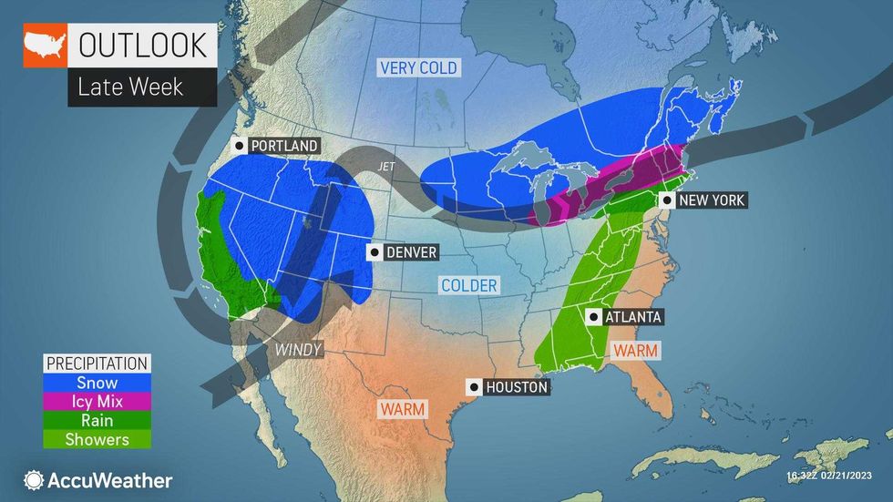
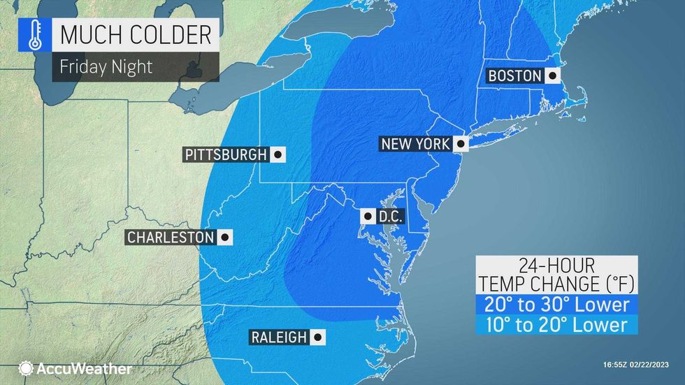
Friday will be blustery and colder with partly sunny skies. The high will be 43 before temps fall back into the 30s and then reach the 20s overnight.
Afternoon snow flurries are possible Saturday as the high hovers around the freezing mark.
 AccuWeather