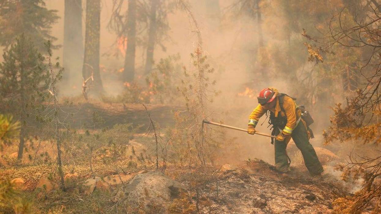
SAN FRANCISCO (KCBS RADIO) – Many parts of northern California have been experiencing a higher fire hazard level than in the past, and CAL FIRE is working to update its mapping for the state based on these changes.
For more, stream KCBS Radio now.
Large stretches of the East Bay, as well as Marin and Napa, have been singled out as extreme fire risk hotspots in early versions of the agency's latest mapping.
The wildfire severity picture is shifting around California because of climate change and severe drought.
"We already know, just based on the fire conditions, that many parts of northern California have been experiencing higher a hazard level than ever before," said Daniel Berlant, a deputy director with CAL FIRE.
Preliminary versions of the new map show lots of patches of pink, which means very high risk, and bright red, which represents extreme risk, around the Bay Area.
Southern California has dealt with the Santa Ana winds for many decades, but the northern region has been recently experiencing similar extreme winds.
And as firefighters have been responding to emergencies, behind the scenes, climate scientists have been studying these trends.
This is especially important as the risk is worsening in towns that have narrow roads and houses that were not built to withstand wildfires.
"That climate science goes to help us ensure that as we map parts of the state, that mapping dictates the building codes, development standards," said Berlant.
"We're making sure as we're building new development in California we're building it meet the level of hazard that California is currently facing," he said.
The final version of the map is expected to be released around the end of the summer.
DOWNLOAD the Audacy App
SIGN UP and follow KCBS Radio
Facebook | Twitter | Instagram