


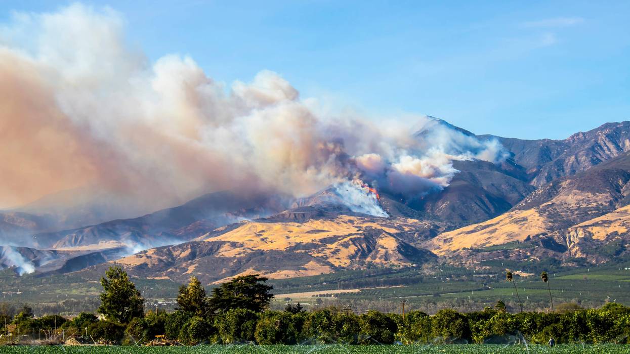
Another round of gusty Santa Ana winds will lift the fire danger starting Tuesday in parts of the Southland.
Want to get caught up on what's happening in SoCal every weekday afternoon? Click to follow The L.A. Local wherever you get podcasts.
National Weather Service forecasters said winds could begin ramping up as early as Monday night, with "weak to moderate" Santa Ana winds anticipated for Tuesday through Thursday.
"Winds will peak Tuesday into Wednesday, but look much more localized than earlier projections," according to the NWS. "Peak wind gusts of 30 to 45 mph are expected over the favored mountains and hills. The favored valleys will also be breezy, with peak gusts of 20 to 30 mph."
Humidity levels, meanwhile, are anticipated to remain low -- under 10% -- in higher mountain elevations, and between 8% and 20% in lower mountains and valleys.
A red flag warning of critical wildfire danger will be in effect from 7 a.m. Tuesday through 6 p.m. Wednesday for the Western San Gabriel Mountains, the Antelope Valley (14) Freeway corridor, the Santa Clarita Valley, Santa Monica Mountains Recreational Area, Calabasas and the western San Fernando Valley. Once the red flag warning expires, a less-severe fire weather watch will be in place for the same areas through Thursday afternoon, according to the NWS.
The gusting winds will prompt a warming trend in the area that is expected to continue through the week. Forecasters noted that the result for New Year's Day will be "picture postcard weather with sunny skies and temperatures in the 70s, up 5 to 10 degrees from Tuesday and about 8 degrees over normal."
Temperatures will rise again slightly on Thursday, which is expected to be the warmest day of the week, with temperatures in the 70s or even low 80s for the coasts and valleys. Friday will be slightly cooler, but temperatures will still be above normal.
Follow KNX News 97.1 FM
Twitter | Facebook | Instagram | TikTok