


Along with all the rain, Southern California got smacked with a tornado Thursday morning. But why wasn't a major alert sent to all the residents nearby?
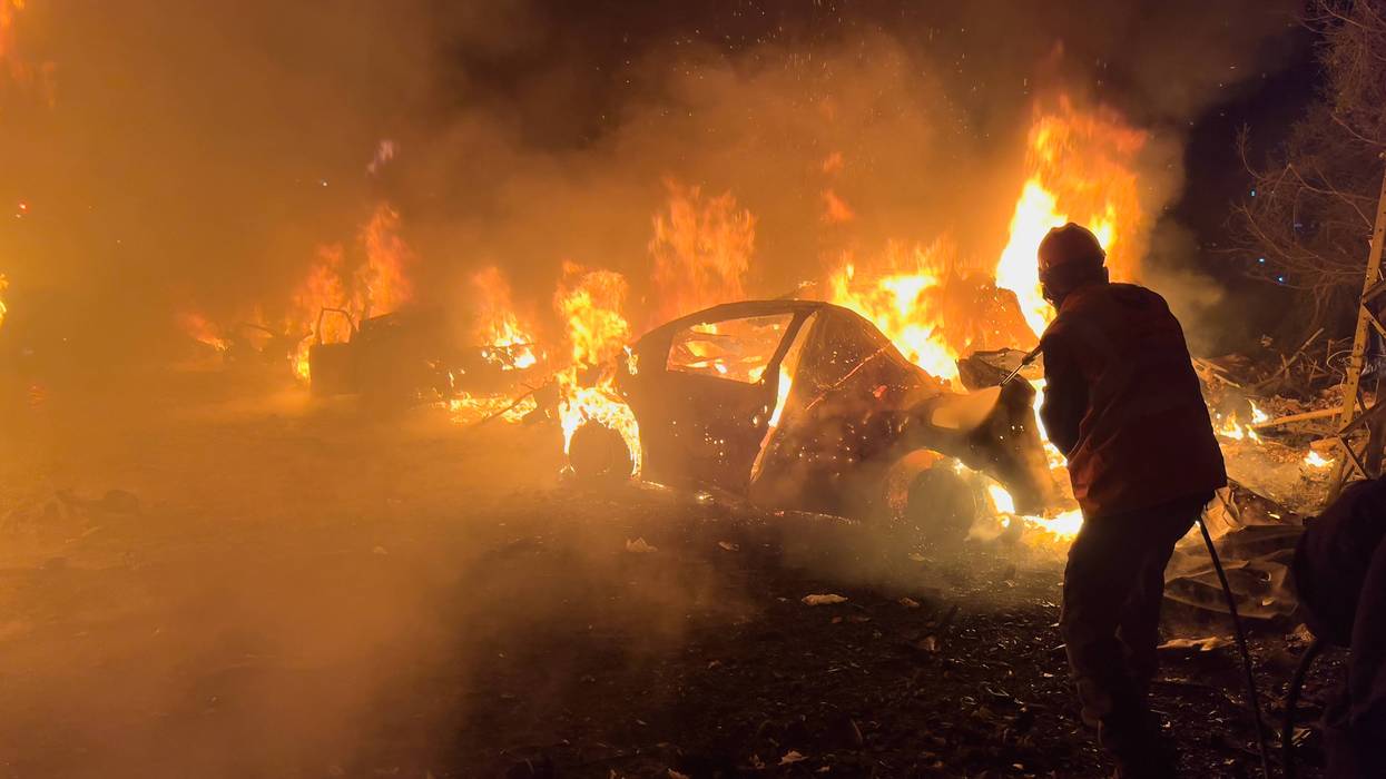
According to Doctor Ariel Cohen with the National Weather Service, the tornado hit at about 3:15 a.m. It touched down in Pico Rivera and barreled along a one-mile path with a width of approximately 80 yards.
Want to get caught up on what's happening in SoCal every weekday afternoon? Click to follow The L.A. Local wherever you get podcasts.
While it did do some damage, with wind velocities of 85 miles an hour, the final assessment rating for the tornado was an EF-0, which is on the low end of the scale.
Cohen said an alert had been issued late Tuesday night warning that conditions were favorable for tornado creation, but there is a misunderstanding among the public about the radar's role in actually tracking a funnel cloud.
According to Cohen, radar warnings about the storms as they form are difficult to make given the weather conditions in Southern California compared to what happens with tornados in, say, the Midwest.
"The very cool ocean current in the East Pacific Ocean usually limits the amount of instability, so there's a low ceiling level in terms of how intense these tornadoes can get," Cohen told KNX News' Pete Demetriou. "As a result, we tend to have these not only spin up just as fast as they dissipate but also tend to be on the weaker side."
In short, it's easier to pick up broader, longer-lasting, and more intense storm conditions on radar in the middle of the country than here in California.
So, because the tornado spun up and ended in 2 minutes, there was little chance to offer an expanded or extended warning.
Follow KNX News 97.1 FM
Twitter | Facebook | Instagram | TikTok