There is a substantial warmup in the Western New York forecast beginning this weekend, but it won't arrive in time for game 5 between the Buffalo Sabres and Montreal Canadiens in downtown Buffalo Thursday night.
"Not the most pleasant evening," National Weather Service meteorologist Jim Mitchell tells WBEN. "We've got some scattered rain showers and mist, maybe cloudy and damp. Temperatures will be right around 50 degrees."
Thursday will likely be the coolest day we see for quite sometime, possibly until next fall, Mitchell suggests.
Hopefully the Sabres will warm the fans spirits with a win, but a warmup will do the trick for the region beginning this weekend.
Temperatures Friday will rebound back to average in the 60's, with light winds and some late day sunshine.
"As we head into the weekend and early next week, we really flip the switch," Mitchell says. "We'll have 70's for Saturday and Sunday, and then we'll be well into the 80's for most places on Monday and Tuesday."
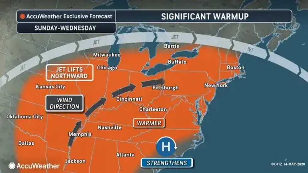 AccuWeather.com
This spring has brought its share of temperature swings, including rounds of frost and freezes in the Northeast and Upper Midwest, AccuWeather Vice President of Forecast Operations Dan DePodwin said.
So far this May, temperatures across much of the Midwest and interior Northeast have been 5-10 degrees below the historical average, while only the Florida Peninsula has been well above average.