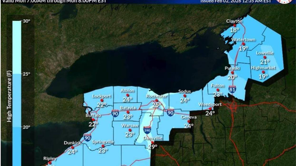
Buffalo, N.Y. (WBEN) - The 20's are the new 50's across the Buffalo-Niagara region as temps will rise from the single digits and top out in the 20's for the work week ahead.
After another cold start Monday with temperatures in the single digits and even below zero in spots, readings will rise closer to more normal levels in the 20's, but remain below average for the season.
"We'll see some moderation in temperatures today, and especially during the week, National Weather Service meteorologist Tony Ansuini tells WBEN. "We'll see daytime high temperatures in the 20's, pretty much the entire week."
The moderation to more normal daytime highs is also coming with a calm week of weather for the Western New York region, with no major disturbances in the weekday forecast.
"It looks like a pretty quiet week across Western New York," Ansuini notes. "Maybe some light snow during the mid part of the week, but other than that, relatively quiet."
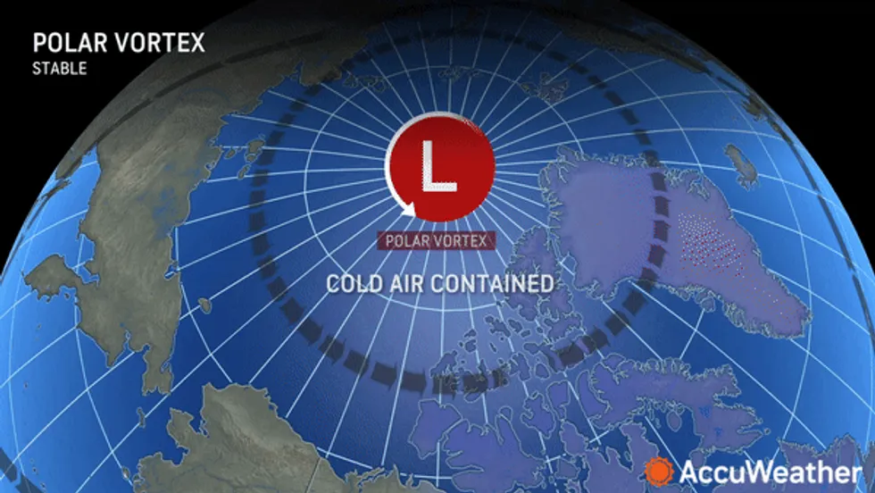
More cold to come?
The discouraging news is that there is more cold in the forecast and the dive to the deep freeze is forecast to return as February unfolds.
"It looks like we're going to have another surge of arctic air that moves in by this coming weekend," Ansuini cautions. "So the bitterly cold air will be back again for this weekend, and I think we'll stay in the cold pattern for at least the foreseeable future."
 AccuWeather.com
While some snowfall may accompany the dive in temps, it should not be anything overly significant, Ansuini says.
"Nothing significant for WNY for the foreseeable future."