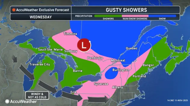

Buffalo, N.Y (WBEN) - Lake effect wet snow focused northeast of Lake Erie early Wednesday morning will changeover to rain over the course of the day, though not before causing some slushy snow to accumulate around Buffalo, Niagara Falls and the northtowns.
National Weather Service forecasters say, despite being cold enough for lake effect, temperatures will continue to warm through the morning hours. This will be just slow enough to cause precipitation to start out as wet snow and make for some locally slick travel this morning before a changeover to plain rain occurs.
"Temperatures will be warming up this morning...and you'll see everything transition to rain for the rest of the day," National Weather Service meteorologist Liz Jurkowski tells WBEN.
Off Lake Erie, the initial band will set up across Niagara County before slowly shifting southward into Orleans and Northern Erie through daybreak.
Across the Buffalo metro area, a slushy 1-3 inches may be possible before the changeover to rain occurs.
A Winter Weather Advisory remains posted for northern Erie, Niagara and Orleans counties through mid-morning Wednesday.
The lake effect will remain mostly rain across the region later Wednesday, however a slushy inch or so of snow could accumulate across the hilltops of the Southern Tier, forecasters say.
Something to look forward to? Jurkowski tells us Sunday's high will be in the 50's.

WINTER WEATHER ADVISORY REMAINS IN EFFECT UNTIL 10 AM EST THIS MORNING
* WHAT...Lake effect snow. Additional snow accumulations 1 to 3 inches in the most persistent lake snows.
* WHERE...Northern Erie County.
* WHEN...Until 10 AM EST this morning.
* IMPACTS...Plan on slippery road conditions. The hazardous conditions will impact the Wednesday morning commute.
* ADDITIONAL DETAILS...A brief period of moderate snow remains possible in the Buffalo Metro area and the Northtowns through the early morning hours before snow changes to plain rain.
PRECAUTIONARY/PREPAREDNESS ACTIONS...
Lake effect snow will fall in relatively narrow bands. If traveling, be prepared for rapidly changing road conditions and visibilities.
WINTER WEATHER ADVISORY REMAINS IN EFFECT UNTIL 10 AM EST THIS MORNING
* WHAT...Lake effect snow. Additional snow accumulations 1 to 3 inches in the most persistent lake snows.
* WHERE...Niagara and Orleans Counties.
* WHEN...Until 10 AM EST this morning.
* IMPACTS...Plan on slippery road conditions. The hazardous conditions will impact the Wednesday morning commute.
* ADDITIONAL DETAILS...Snow will change over to plain rain later this morning.
PRECAUTIONARY/PREPAREDNESS ACTIONS...
Lake effect snow will fall in relatively narrow bands. If traveling, be prepared for rapidly changing road conditions and visibilities.