


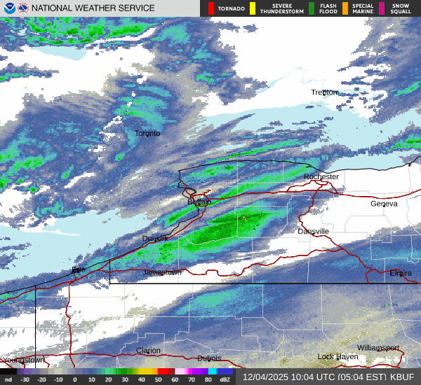
A quick hit of lake effect snow overnight was enough to add some snow cover to the Buffalo metro area, before the bands of snow rapidly moved southward across the southtowns, settling into the southern tier.
A Winter Weather Advisory was expiring for the metro Buffalo and northern Erie County region early Thursday and will remain in play for southern Erie County and the southern tier through early Thursday evening.
"This lake band is now settling south across the Boston Hills and down to the southern tier, where it will be continuing through the daytime today," National Weather Service meteorologist Dave Thomas tells WBEN.
Snow amounts of 2 to 5 inches will be possible for areas east and southeast of Lake Erie, with the greatest totals over the higher terrain well south of Buffalo.
Only an additional trace to half inch of snow is in the forecast for the Buffalo metro area Thursday.
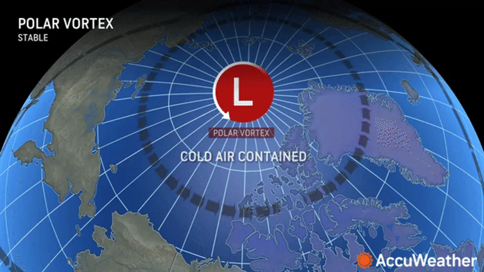
The next story will be the COLD!
 AccuWeather.com
The coldest airmass of the winter season will arrive late Thursday through early Friday, with wind chills dropping to at or below zero tonight through early Friday morning.
"Tonight we're going to be seeing temperatures down to the single digits for most of our area," Thomas says. "The coldest air mass so far of this young winter season."
WINTER WEATHER ADVISORY REMAINS IN EFFECT UNTIL 7 PM EST THIS EVENING
* WHAT...Lake effect snow expected. Total snow accumulations 2 to 5 inches in the most persistent lake snows, with the greatest amounts across the Boston Hills and Chautauqua Ridge. Winds gusting as high as 35 mph will produce blowing and drifting snow.
* WHERE...Wyoming, Chautauqua, Cattaraugus, and Southern Erie Counties.
* WHEN...Until 7 PM EST this evening.
* IMPACTS...Plan on snow covered and slippery road conditions with poor visibility. While snowfall amounts will be minor, much of the snow will fall in a brief, heavy burst. The hazardous conditions will impact the morning commute today.
PRECAUTIONARY/PREPAREDNESS ACTIONS...
Lake effect snow will fall in relatively narrow bands. If traveling, be prepared for rapidly changing road conditions and visibilities.


