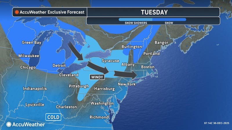

Buffalo, N.Y. (WBEN) - The extreme winds that punished the Niagara Frontier Monday have been replaced by gusty conditions, colder air, and lake effect snow bands that will target areas well to the south of the Buffalo metro area.
"One of the most notable wind gusts we recorded yesterday was 79 mph at the Buffalo Airport," National Weather Service meteorologist Phillip Pandolfo tells WBEN. "I believe it was the third highest wind gust ever recorded here at the airport."
CHECK: WBEN Closings/Cancellations
In addition to the 70 mph at the airport, there were numerous reports of gusts in the 65 to 75 mph range across the region, especially northeast of Lake Erie.
While it will remain gusty through the day Tuesday, it will be nothing like Monday with the damaging winds that left trees and power lines down and tens of thousands without electric service.
"Wind gusts of 35 to 45 mph should be fairly commonplace(Tuesday)," Pandolfo tells us.
Lake Effect Snow
Multiple bands of lake effect snow from as far away as Georgian Bay and Lake Huron are impacting much of the Western New York region Tuesday. Those bands of snow are being enhanced by the waters of Lake Erie.
"The strongest snows are still southeast of Lake Erie, mainly down toward the ski country, northern Chautauqua, far southern Erie and far northern Cattaraugus counties," Pandolfo says.
A Winter Storm Warning remains posted through early Friday for southern Erie County and the southern tier for lake effect snow.
Some minor accumulations, perhaps as much as 2 to 4 inches of snow, could fall across portions of the Niagara Frontier. Much heavier accumulations are expected across those previously noted areas of the southern tier.
"The lake effect is expected to intensify(late Tuesday), and start to climb back northward, though it should remain well south of Buffalo, and even south of the southtowns for much of the night," Pandolfo predicts.
New Year's Eve
Lake effect snow will remain in the forecast for New Year's Eve Day.
"The heaviest lake effect area is expected to still remain south of Buffalo," Pandolfo says. "It may creep northward, clipping into the southtowns at times."
A new weather system will bring more widespread snow showers across the entire region for New Year's Eve.
"Just about everywhere can expect at least some snowfall Wednesday, and Wednesday night," Pandolfo cautions.
WINTER STORM WARNING REMAINS IN EFFECT UNTIL 1 AM EST FRIDAY
* WHAT...Heavy snow expected. Total snow accumulations 1 to 3 feet.
Winds gusting as high as 45 mph today will create blowing and drifting snow and occasional whiteout conditions.
* WHERE...Wyoming, Chautauqua, Cattaraugus, and Southern Erie Counties.
* WHEN...Until 1 AM EST Friday.
* IMPACTS...Whiteout conditions with snow and blowing snow are expected and will make travel treacherous and potentially life-threatening through today. Travel will remain very difficult with hazardous conditions from lake effect snow continuing to impact travel through the week.
* ADDITIONAL DETAILS...Lake effect snow is expected oscillate several times downwind of Lake Erie this week. Forecast snowfall amounts could be much higher where lake bands persist during this long duration event.
PRECAUTIONARY/PREPAREDNESS ACTIONS...
During lake effect snow, the weather can vary from bands of locally heavy snow with greatly reduced visibilities to dry conditions just a few miles away. Be prepared for rapid changes in weather, visibility, and road conditions.
Related
