
Buffalo, N.Y. (WBEN) - A wintry mix of sleet, freezing rain, and snow is putting the brakes on the post-Christmas rush across the Buffalo-Niagara and Western New York region.
A Winter Weather Advisory is posted for ALL of WNY through early Saturday.
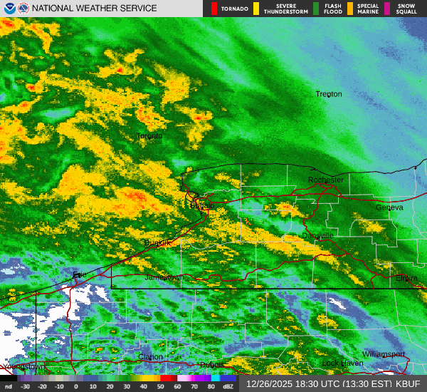
Expect very little snow for the western southern tier, where ice and sleet dominate, National Weather Service forecasters say.
"The further south you go, the icier it's going to be, the further north you are, the snowier it's going to be." meteorologist Andy Parker tells WBEN. "If you're in between, it's going to be that mix."
Across the Buffalo-Niagara region, snow amounts are highly uncertain given precipitation type uncertainties. Forecasters expect accumulations to be in the 1 to 4 inch range, with sleet holding down snow amounts. If precipitation stays mainly snow, accumulations will be higher (likely the 3-6" range).
"Travel conditions across the entire region are going to deteriorate throughout the day," National Weather Service meteorologist Phillip Pandolfo tells WBEN. "We’re expecting a fair amount of sleet across the Buffalo metro area," Pandolfo cautions, and it will include sleet and mixed precipitation at times.
For ice accumulations, expect 0.10" to 0.25" across the western southern tier, but portions of Chautauqua County may reach the 0.25" to 0.50" range if freezing rain is predominant. There is a small potential Chautauqua County may exceed 0.50" and reach Ice Storm Warning criteria, but not enough confidence in that scenario yet.

Temperatures will be below freezing across the entire region Friday, causing whatever precipitation that does fall, to freeze on surfaces and make travel difficult at times.
The snow and mixed precipitation will quickly taper off from west to east Friday night, with most of the precipitation done by late evening across WNY.
"Tomorrow, this system is gone, it's a quiet day across Western New York," Parker says.
Bills-Eagles Sunday
No stadium dig-out will be necessary when the Buffalo Bills host the Philadelphia Eagles at Highmark Stadium in Orchard Park Sunday, with milder temperatures forecast to prevail.
"We’re expecting a pretty big warmup," Pandolfo says. The warmer temps will be accompanied with widespread rain across much of the area on Sunday, Pandolfo tells us. And winds from the southwest will also pick up later in the day as well.
"It gets progressively wetter through the day," Parker says.
Colder air and lake effect snow returns to the region late Monday through Wednesday.
Related
