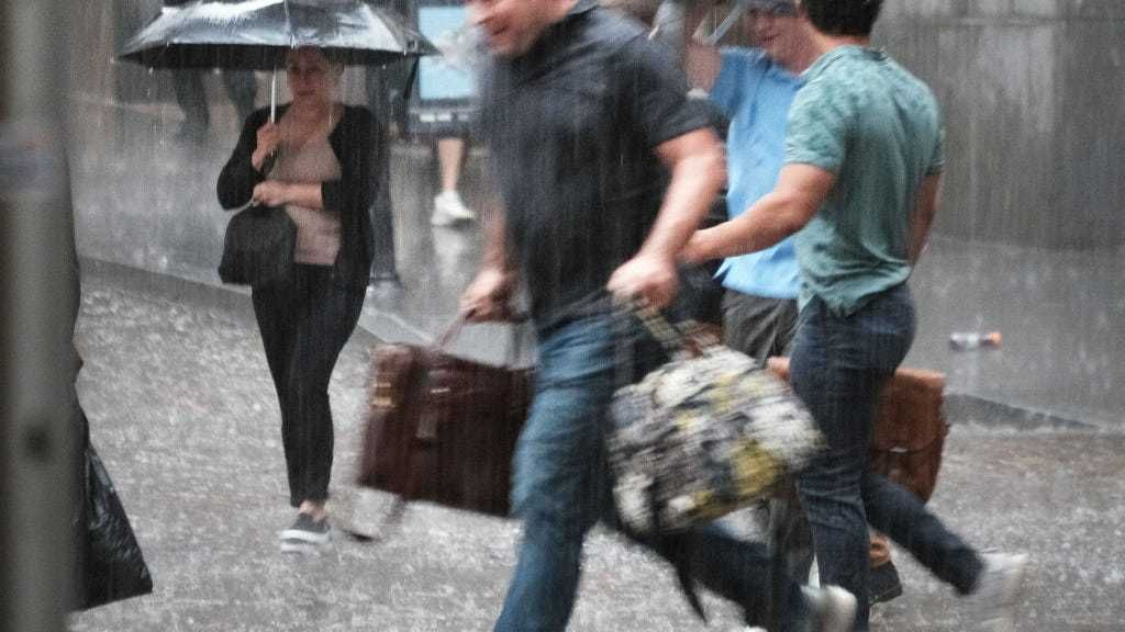
NEW YORK (WCBS 880) — The summer of 2021 is shaping up to be a soggy one.
Strong thunderstorms with heavy downpours and gusty winds are in the forecast every day this week.
Monday could bring a washout to parts of the Tri-State area.
A flash flood watch will be effect from 2 p.m. Monday through 10 a.m. Tuesday for the entire region, with the exception of eastern Long Island.
Areas hard hit by heavy rain and flash flooding late last week, especially New York City where videos showed straphangers wading through knee-deep water in some subway stations, could be impacted again by this new round of storms.
The National Weather Service said some parts could get a month's worth of rain in downpours.
Rainfall amounts of 1 to 3 inches are likely, with localized amounts over 4 inches possible.
Storms could also produce hail and possibly even a tornado.
Nassau County Executive Laura Curran is warning wind gusts in excess of 58 mph could damage trees and power lines and result in scattered power outages.
She is advising that residents secure outdoor decorations and items, and have extra batteries on hand.
"This is not only an event that will happen today, but we'll probably go through this tomorrow and Wednesday as well," WCBS 880's Chief Meteorologist Craig Allen said.
Monday afternoon will be warm and humid with highs around 85.
Tuesday will be cloudy and muggy with showers likely and temperatures in the mid to upper 70s.
Wednesday will be partly sunny and humid with a chance of scattered storms.
Thursday and Friday will see more of the same. It will be hot and humid with a hazy sun and chance of thunderstorms. Temperatures will be close to 90.