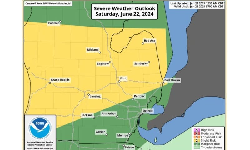

(WWJ) Stormy weather in Mid-Michigan into the Thumb led to multiple tornado warnings, and one confirmed tornado over the weekend.
A survey team with the National Weather Service confirmed a tornado hit Gladwin County at 4:05 p.m. on Saturday.
Meteorologists said it was an EF-1 tornado, with peak winds of 90 miles per hour and touched down about nine miles north-northeast of Gladwin. It was on the ground for just over 10 miles, with a maximum width of 200 yards.
The tornado caused some tree damage, but no injuries were reported.
There was a tornado warning in effect at the time.
There were other tornado warnings issued, including for Skidway Lake/ Prescott and Port Austin/Grind Stone City on Saturday, but no tornados have been confirmed in those areas.
Meanwhile, after gusty thunderstorms did some damage in Metro Detroit last week, things are looking calmer weather-wise this week in Southeast Michigan. However, AccuWeather says there's a decent chance for some thunderstorms beginning late in the morning on Tuesday, which could bring hail and damaging winds.
Stay with WWJ for the latest, with weather updates along with traffic, every 10 minutes on the 8s. Listen live anytime right here, or on the FREE Audacy app.