


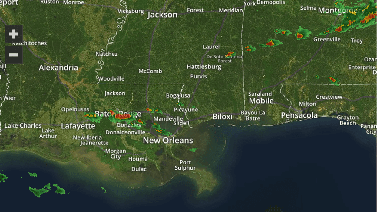
A cold front beginning to make its way into the area has been triggering a few storms and more are possible as we continue through the evening.
There is a slight possibility that some of the storms could be heavy. "We are still in a low-end risk of maybe a few isolated storms becoming strong to severe," said WWL-TV meteorologist Chris Franklin.
But after the front passes, our weather shapes up nicely.
"Most of this week will be very, very nice," Franklin said.
Here is the local weather expert forecast:
MONDAY NIGHT:
30% chance for spotty showers or storms, then clearing. Turning cooler late. Low: S 56, N 51. Winds: W/N 6-12.
TUESDAY:
Sunny skies. Cooler, less humid. Breezy. High: 70. Winds: N 10-18.
WEDNESDAY:
Chilly morning. Beautiful afternoon. Cool and pleasant! Low: S 52, N 46. High: 71.
THURSDAY:
Chilly morning. Mostly sunny. Gorgeous! Warmer. Low: S 53, N 47. High: 76.
FRIDAY:
Some AM fog. Partly cloudy skies. Breezy. More humid. Low: S 57, N 52. High: 79.
SATURDAY:
Some AM fog. Partly cloudy skies. 30% chance for spotty showers. Warmer. Low: S 62, N 57. High: 82.
SUNDAY:
Cloudy skies, 60% chance for scattered showers and storms. Cooler and breezy. Low: S 57, N 54. High: 68.
MONDAY:
Mostly cloudy. 50% chance for scattered showers and storms. Cool, breezy. Low: S 50, N 45. High: 67.


