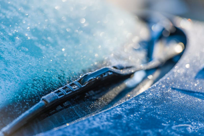

Frost covered nearly all of Southeast Louisiana this morning.
"It is a cold and frosty morning, so you will likely need to scrape ice off your windshield, " WWL TV Meteorologist Payton Malone said. "Today stays cool and sunny with highs in the low 50s."
He says more frost is possible tonight as temperatures drop into the upper 20s and lower 30s.
"There are no pipe concerns Thursday or Friday, but Arctic air returns in time for the weekend."
Malone says another Arctic blast moves in Friday.
"Friday evening turns cold and windy, with bitter cold moving in overnight. Saturday morning will be cold and windy with temperatures in the 20s and wind chills in the teens and single digits."
He says we will struggle to warm much Saturday afternoon, with highs only in the low 30s.
"For Saturday night parades, it will be extremely cold with wind chills in the 20s. Sunday morning will start in the teens and 20s, but sunshine helps temperatures recover into the 40s."
Malone warns to expect pipe freezes Saturday and Sunday mornings.
Detailed Forecast...
TODAY:
Frosty morning. Sunny & Cold. High: 53. Winds: NW 5-10.
THURSDAY:
Light freeze North. Chilly. Increasing clouds. Low: S 36, N 28. High: 59.
FRIDAY:
All above freezing. Mostly cloudy. Chilly, breezy. Mostly dry. Low: S 44, N 38. High: 54.
SATURDAY:
Bitter cold and windy. Hard freeze. Low: S 27, N 21. High: 34.
SUNDAY:
Hard freeze. Mostly sunny. Cold! Low: S 25, N 16. High: 43.
MONDAY:
Hard freeze. Mostly sunny. Low: S 29, N 23. High: 52.
TUESDAY:
Sunny and chilly. Low: S 35, N 28. High: 59.