


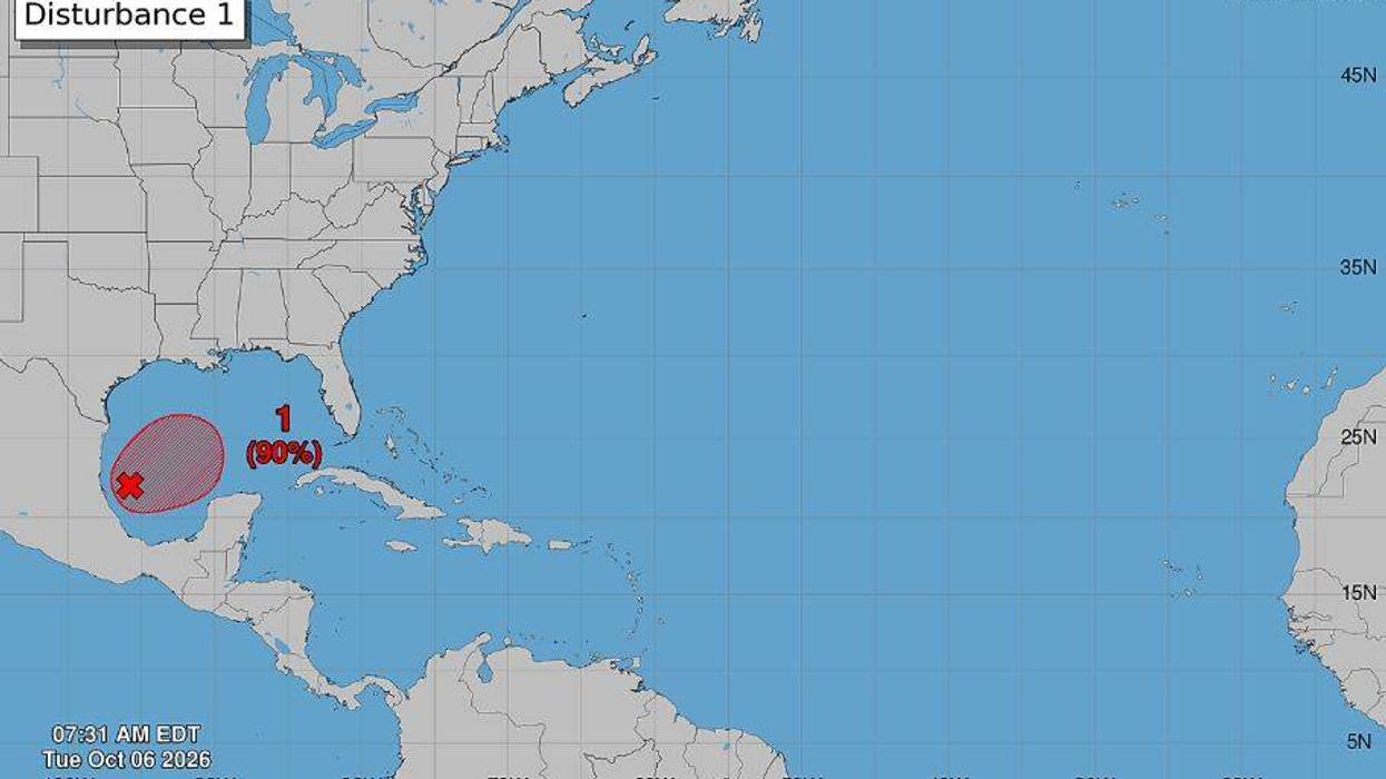

The tropical system forming in the Bay of Campeche will be making landfall somewhere along the United States Gulf Coast in the next few days. The million-dollar question is: where exactly will it go?
Forecasters say the cone of uncertainty is still wide.
"Looks like anywhere from the southeast Louisiana coast all the way to the Florida Panhandle," National Weather Service forecaster Jacob Zeringue said.
Zeringue notes that the storm's exact track is uncertain because we're still three to four days away from landfall and because its center of circulation hasn't formed. According to Zeringue, the system will drop three to five inches of rain wherever it goes. The good news, he says, is that the storm won't linger around.
"Thankfully, actually, this system looks like it's going to be out pretty quickly," Zeringue said.
Still, Zeringue says there is a threat of flash flooding if the system pushes over Southeastern Louisiana.
"If those three to five inches happen in four hours or so, yes, that would cause problems especially after the rainfall we had last weekend, but thankfully, it does look like this system will be moving quickly once it gets close to the northern gulf coast," Zeringue said.