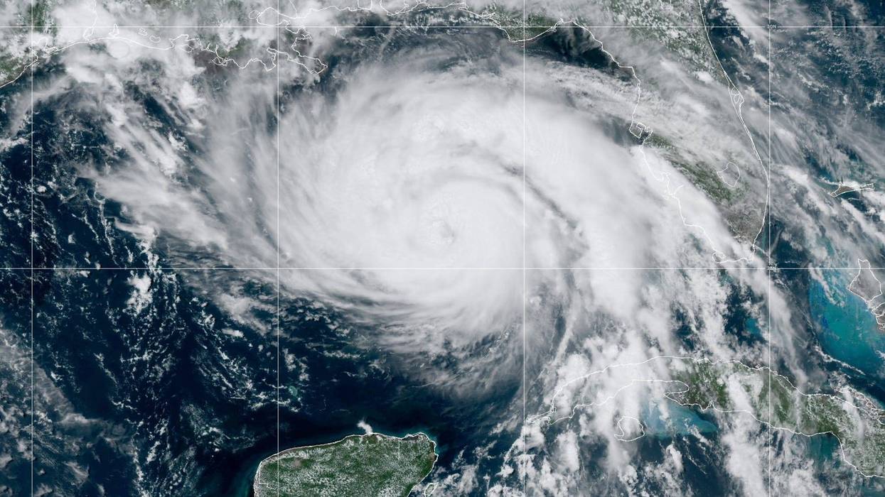


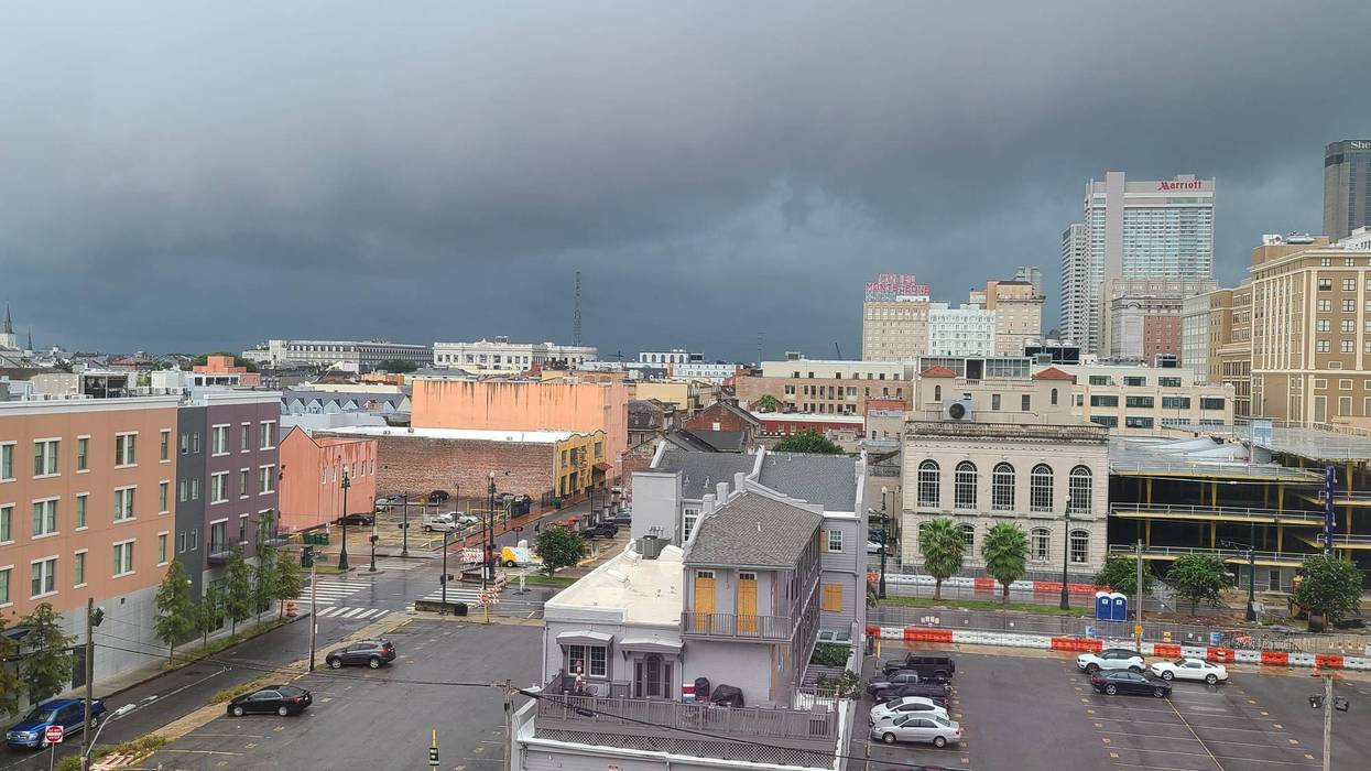

We're in the copy-and-paste weather pattern. The forecast for the next seven days is mostly repetitive with highs in the 90s, high humidity, and rain in the forecast.
The only variance in the forecast is the rain chance percentages each day.
As we approach next week, rain chances will jump dramatically. Today and tomorrow, those precipitation chances will stay around 40 percent. By the time we get to the weekend, those rain chances increase to 50 and 60 percent.
Rain chances jump to 80 percent for Monday and Tuesday thanks to the merger of an upper-level disturbance, a front pushing towards the Gulf Coast, and tropical moisture. Those storms could result in localized street flooding in parts of the New Orleans metro area and other parts of Southeast Louisiana, with some locales receiving several inches of rain over the course of a few hours.
While precipitation probabilities decrease on Wednesday, we'll still have a 50-50 shot of showers and thunderstorms.
THURSDAY:
Partly cloudy. 30-40% spotty to scattered showers, storms. Hot, humid. High: 92. Winds: S 5-10.
FRIDAY:
Partly cloudy. 30-40% spotty to scattered showers, storms. Hot, humid. Low: S 76, N 73. High: 92.
SATURDAY:
Partly sunny. 50% scattered showers and storms. Hot and humid. Low: S 76, N 73. High: 91.
SUNDAY:
60% scattered showers and storms. Some heavy. Low: S 76, N 73. High: 90.
MONDAY:
80% numerous showers and storms. Some heavy. Low: S 76, N 73. High: 88.
TUESDAY:
80% numerous showers and storms. Some heavy. Low: S 76, N 73. High: 88.
WEDNESDAY:
50% scattered showers. Low: S 76, N 73. High: 90.