


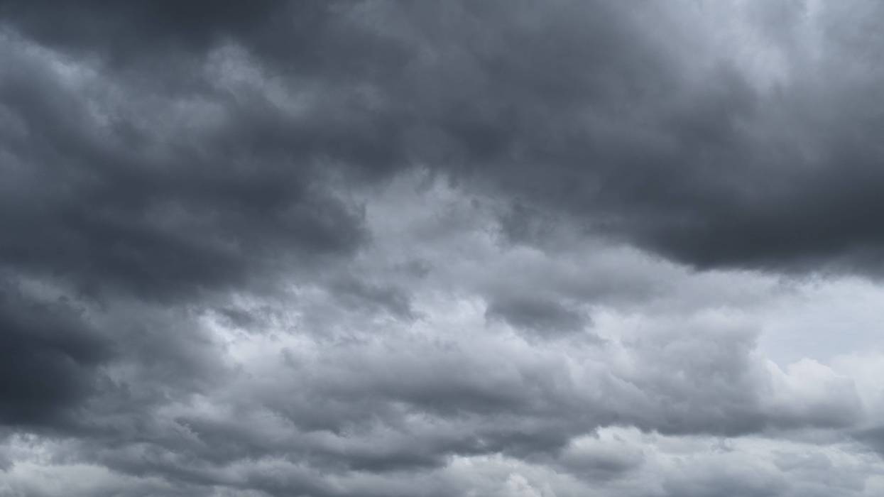
A line of strong storms moves into the area, and parts of the region are under a tornado watch.
“A Tornado Watch has been issued for the area until 11 am. A line of strong storms will move through parts of the area Tuesday morning bringing a threat for damaging wind gusts and a few isolated tornadoes,” said WWLTV’s Meteorologist Payton Malone.
TUESDAY: 60% showers and storms, especially north of the lake. A few severe possible.
Breezy. Warm and humid. Low: S 68, N 66. High: 83.
WEDNESDAY: Partly cloudy. Warm and humid. A stray thunderstorm or two possible late, but mostly dry.
Low: S 69, N 67. High: 86.
THURSDAY: Sunny.
Cooler, less humid. Breezy. Low: S 65, N 59. High: 76.
FRIDAY: Chilly morning. Sunny and cool. Low: S 47, N 43. High: 68.
SATURDAY: Chilly morning. Sunny and nice. Low: S 52, N 47. High: 70.
SUNDAY: Chilly morning. Sunny and pleasant. Lows : S 54, N 45. High: 75.

