

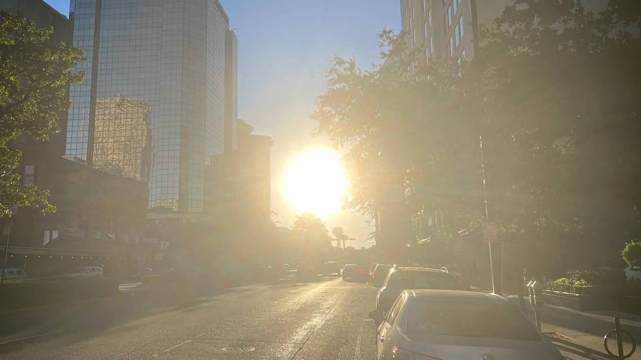

It'll be a copy-and-paste forecast for at least the next three days. Lots of sunshine today, tomorrow, and Thursday with highs in the 80s. Expect some early morning fog. That fog could mix with smoke from area wildfires and cause low visibility on area roadways.
A cold front will arrive late Friday, bringins few showers with it. Unfortunately, the front won't bring enough rain to ease our drought. Temperatures this weekend won't get higher than the low 70s.
TUESDAY:
Partly cloudy. Warm, bit more humid. High: 82. Winds: S 5-10.
WEDNESDAY:
Some AM Fog. Partly cloudy. Warm, humid. Nice. Low: S 62, N 57. High: 82.
THURSDAY:
Some AM Fog. Partly to mostly cloudy. Warm, humid. Isolated shower. Low: S 63, N 58. High: 81.
FRIDAY:
Some AM Fog. Mostly cloudy. 40% scattered showers. Milder temps. Low: S 67, N 63. High: 78.
SATURDAY:
Mostly cloudy. 30% spotty showers. Cooler, breezy. Low: S 62, N 58. High: 72.
SUNDAY:
Mostly cloudy. 40-50% scattered showers. Cool, breezy. Low: S 62, N 57. High: 73.
MONDAY:
Mostly cloudy. 30% spotty showers. Cool, breezy. Low: S 59, N 54. High: 72.