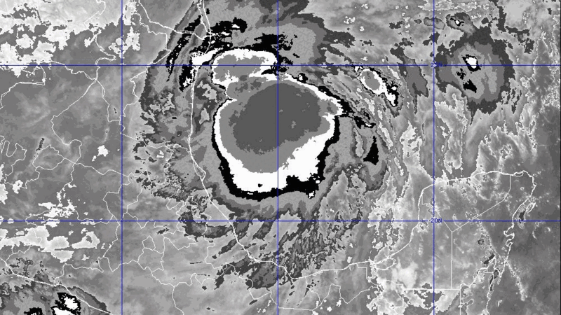
The National Hurricane Center's 4 p.m. Monday forecast for Francine predicts maximum winds of 100 mph as it approaches landfall in Louisiana on Wednesday afternoon.
The storm's predicted track would take it to the coast of Vermillion Parish, Louisiana, southwest of Lafayette, moving northeast.
It is expected to be moving quickly, so the good news is the storm will not linger over the region, minimizing its impacts.
"This looks to be a fast-moving storm. By Wednesday night and Thursday morning, conditions are already improving," said WWL-TV Chief Meteorologist Chris Franklin.
For the New Orleans area, "we're still looking at several inches of rainfall potential," Franklin said, with winds of 30-plus miles per hour and higher gusts on Wednesday.