The snow may be gone, but frigid temperatures remain as South Louisiana prepares for record low temperatures and the coldest high temperatures in many locations.
In fact, we've already seen at least one new record low temperature set. New Iberia's temperatures at 4 a.m. Wednesday was 7°, two degrees colder than the previous low recorded there. Several other locations in Acadiana are seeing single-digit temperatures to start the day, including Lafayette (7°) and Opelousas (5°).
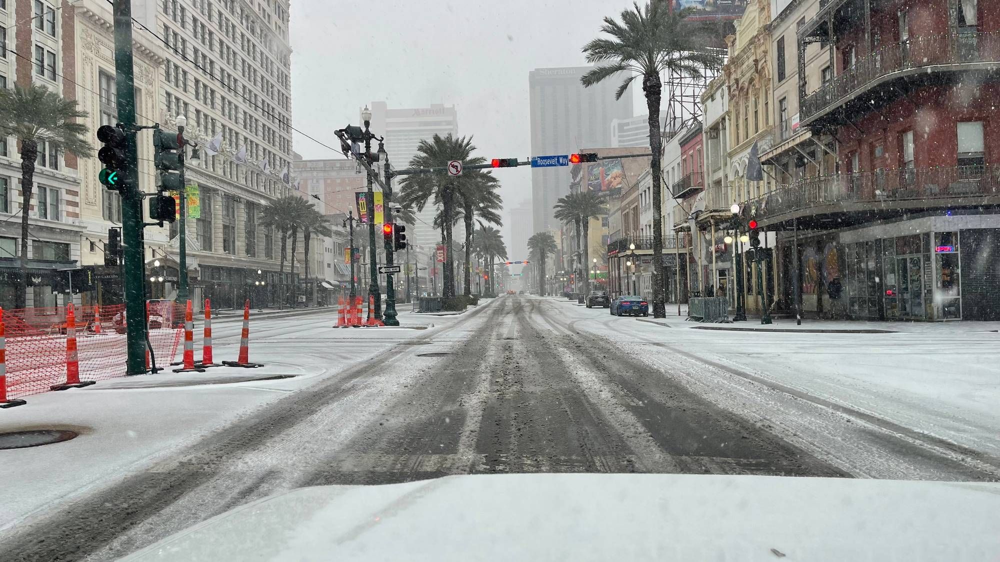
It's much warmer in the New Orleans area by comparison. As of 4 a.m., temperatures south of Lake Pontchartrain are hovering around 27° with wind chills about 10 degrees colder. On the Northshore, a hard freeze persists, with air temperatures in the mid-teens and wind chills in the single digits.
That hard freeze will continue north of the lake into Friday, with high temperatures barely making it above freezing on Wednesday. The Northshore will see an overnight low around 17° tonight and 25° tomorrow night. The Southshore will see low temperatures in the mid-20s tonight and the low-30s tomorrow night.
The good news: high temperatures will get into the 40s on Thursday and Friday before jumping into the 50s and 60s during the weekend. The Louisiana weather roller coaster continues to climb upward on Monday. Temperatures will near the 70° mark to begin the new week.
WEDNESDAY:
Hard freeze north, south. Sunny. Bitter cold. High: 34.
THURSDAY:
Hard freeze north, south. Partly cloudy. Chilly. Low: S 25, N 17. High: 43.
FRIDAY:
Hard freeze north, freeze south. Sunny skies. Low: S 31, N 25. High: 47.
SATURDAY:
Mostly sunny. Freeze north. Milder, becoming breezy. Low: S 34, N 28. High: 56.
SUNDAY:
Partly cloudy. Warm, breezy. Low: S 50, N 45. High: 65.
MONDAY:
Mostly cloudy. Stray shower. Breezy. Warm, bit more humid. Low: S 56, N 52. High: 67.