


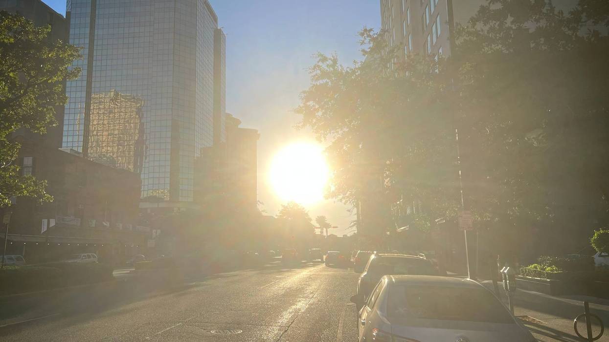

Tropical Storm Bertha is gone, and that means the heat and humidity will be back in full force Thursday and for the next week.
We'll have a nice breeze courtesy of Bertha as it continues to slowly move west along the Louisiana coast, with south winds approaching 20 miles per hour. The storm will also drop rain across parts of the region throughout the day.
The scorching conditions, however, are our biggest concern. Thursday's high temperatures will peak around 90° with heat indices approaching triple digits. That's the coolest the New Orleans metro will be for the foreseeable future. High temperatures for the following seven days will peak in the mid-to-upper 90s with heat indices reaching well into the triple digits. That likely will trigger extreme heat warnings during each of the next seven days. Overnight lows will settle around 80°.
Rain chances are nil through Monday. Slight rain chances return to the forecast on Tuesday and Wednesday.
THURSDAY: Partly cloudy. 50% passing showers and storms. Breezy. High: 90. Winds: S 10-18+
FRIDAY: Sun to partly cloudy. Mostly dry. Hot, humid. Low: S 78, N 75. High: 94.
SATURDAY:Sun to partly cloudy. Mostly dry. Hot, humid. Low: S 79, N 76. High: 95.
SUNDAY: Sun to partly cloudy. Mostly dry. Hot, humid. Low: S 80, N 77. High: 96.
MONDAY:Sun to partly cloudy. Mostly dry. Hot, humid. Low: S 80, N 77. High: 97.
TUESDAY: Partly cloudy. 20% isolated shower. Hot, humid. Low: S 80, N 77. High: 97.
WEDNESDAY: Partly cloudy. 20% isolated shower. Hot, humid. Low: S 80, N 77. High: 97.