


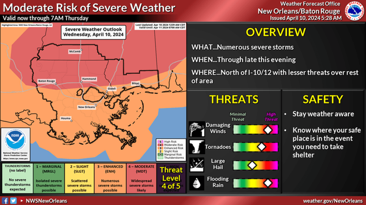
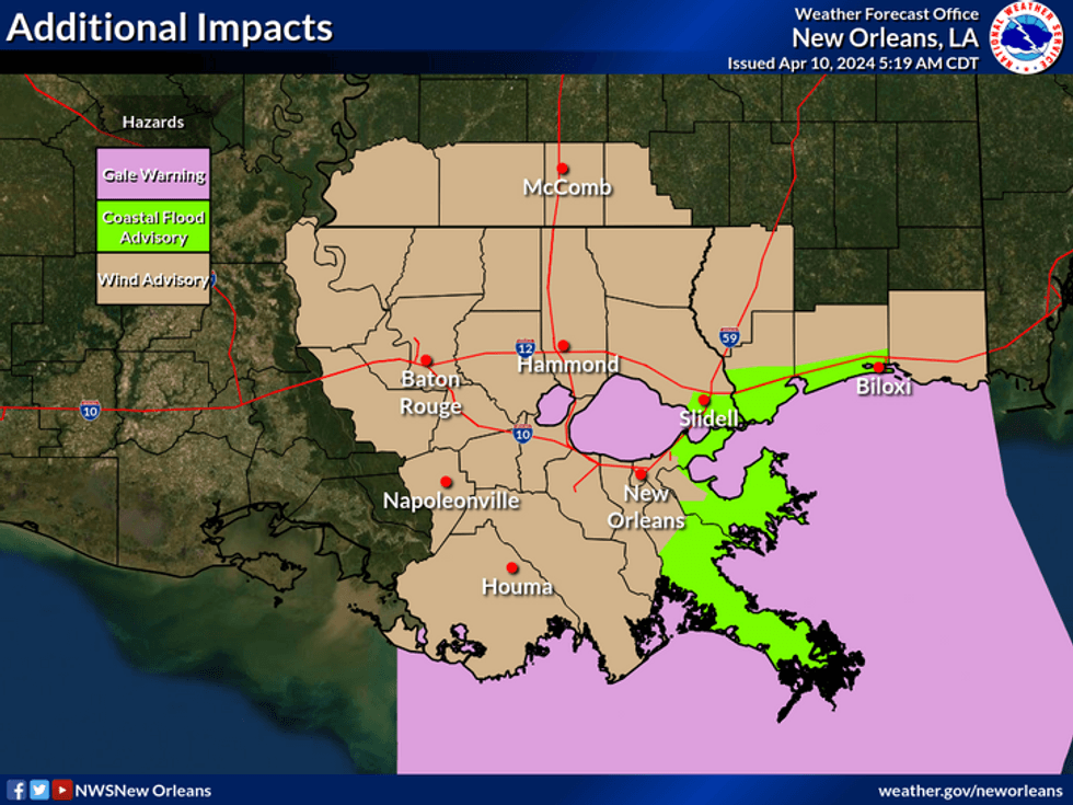
The National Weather Service says we have a high risk of severe weather today across the region.
"Numerous severe storms are expected," the NWS posted. "Threat levels are damaging wind, tornadoes, large hail, and flooding rain.
Government forecasters urge everyone to have a plan for the severe weather.
"Stay weather aware and know where your safe place is in the event you need to take shelter."
WWL TV Meteorologist Alexa Trischler says the window for the worst of the weather is between 8:00am and 2:00pm.
"The main concern will be the significant threat from tornadoes and strong winds associated with severe thunderstorms. Secondary will be some street flooding."
 NWS
NWS
She says winds will be high much of the day and could lead to power outages and flying debris.
Detailed Forecast...
TODAY:
SIGNIFICANT SEVERE WEATHER THREAT! 90% numerous severe storms from mid-morning through early afternoon. Warm, humid. Windy. High: 78. Winds: S 15-30+ Gusts 40 mph.
THURSDAY:
Partly sunny skies. Some late clearing. Milder. Less humid. Breezy. Low: S 61, N 56. High: 74.
FRIDAY:
Mostly sunny skies. Mild, pleasant. Low humidity! Low: S 56, N 49. High: 76.
SATURDAY:
Mostly sunny skies. Warm, nice. Low: S 56, N 48. High: 80.
SUNDAY:
Sun to partly cloudy. Warm, bit more humid. Low: S 62, N 56. High: 82.
MONDAY:
Partly cloudy. Warmer, bit more humid. Low: S 64, N 60. High: 84.
TUESDAY:
Partly cloudy. Warmer, bit more humid. Breezy. Low: S 67, N 64. High: 84.


