


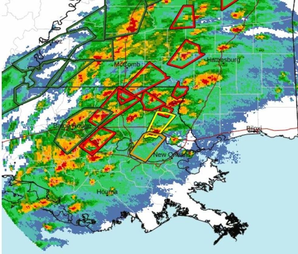
A series of severe thunderstorms triggered tornado warnings north of the lake late this morning and early this afternoon.
The National Weather Service in New Orleans issued warnings for St. Tammany Parish, Tangipahoa Parish, Washington Parish, Livingston Parish and St. Helena Parish.
 NWS
NWS
Government forecasters said storm cells in all of those parishes were capable of producing damage.
"Flying debris will be dangerous to those caught without shelter. Mobile homes will be damaged or destroyed. Damage to roofs, windows, and vehicles will occur. Tree damage is likely," according to the warnings issued.
WWL TV Meteorologist Payton Malone said they were able to confirm a tornado near Folsom around 12:10pm.
Radar also indicated rotation in a cell near Kentwood around the same time.
All of Southeast Louisiana is under a tornado watch until 8:00pm. That includes all of the Northshore and Southshore.
"The Northshore from Hammond, Slidell, over towards Biloxi, and then definitely the New Orleans metro area," Lesko says. "And that's really going to be this afternoon probably some time between 3-and-6 pm., a little bit earlier if you're from the Hammond area down over toward Houma."
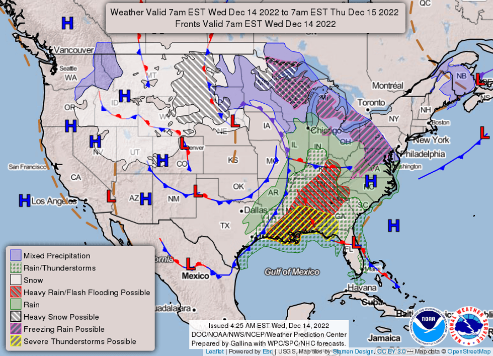
With two different bands of storms moving through the region, New Orleans can expect to get it's share of stormy skies later this evening.
"[The storm is moving] southwest up to the northeast through the afternoon and then the line of storms, the one that's been stalled up past Baton Rouge will that's going to swing through after," Lesko explains. "So we could see some heavy rain, thunderstorms, and finally a line move through by the time it clears the New Orleans area late tonight."
 NWS
NWS


