


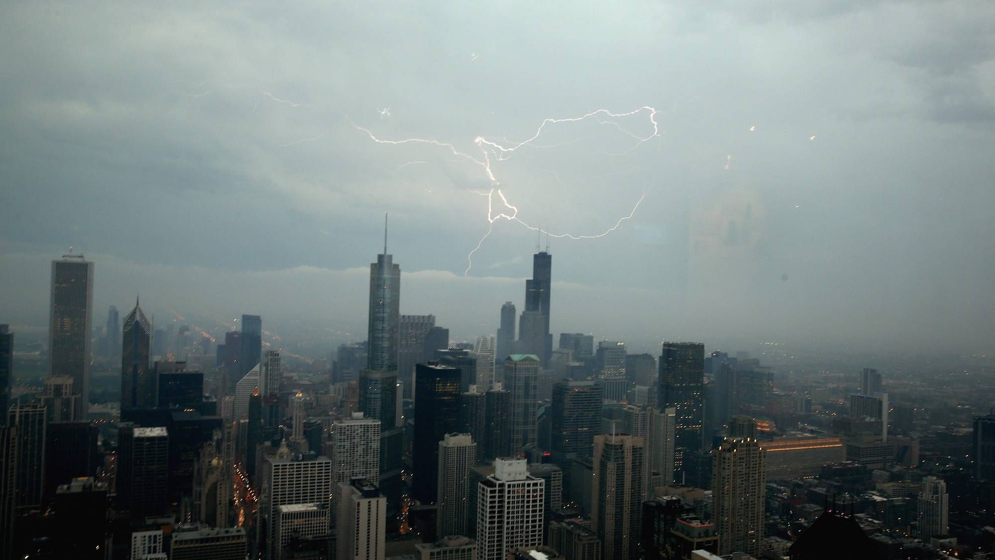
CHICAGO (WBBM NEWSRADIO) -- A band of strong thunderstorms with potentially damaging winds and hail could move through the Chicago area late Monday afternoon.
After some scattered showers in the morning, thunderstorms capable of producing wind gusts up to 70 mph and soaking downpours could form later in the afternoon and in the evening, mainly between 4 p.m. and 8 p.m., according to the National Weather Service.
These storms could also produce lightning strikes and large hail with localized flooding, the weather service said.
The system is expected to move through Rockford, Elgin, Joliet, Waukegan, Chicago, northwest Indiana and other areas near the lakefront, the weather service said. Storms were expected to move out of the area by midnight.
More storms could be in store Tuesday, mainly after 1 p.m., according to the weather service. Temperatures were also expected to climb into the 90s Tuesday.
The rest of the week will stay hot, with high temps above 85 degrees Wednesday and Thursday before a slight cool down on Friday.
(Source: Sun-Times Media Wire & Chicago Sun-Times 2021. All Rights Reserved. This material may not be published, broadcast, rewritten, or redistributed.)