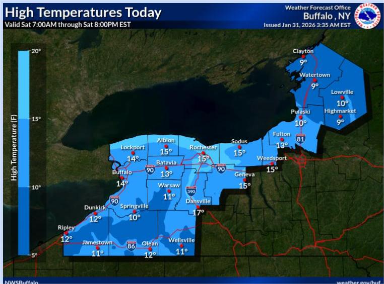

Buffalo, N.Y. (WBEN) - If you were hoping for some relief from the seemingly endless frigid weather across the Buffalo-Niagara region this weekend, look elsewhere.
The deep freeze continues as a frigid airmass will remain in place through Sunday, National Weather Service forecasters say.
Extensive cloud cover and lighter winds will keep wind chill values above 15 below Saturday, but we're still expecting wind chills areawide to be in the zero to 10 below range.
Relief, if you want to call it that, will come in the form of more seasonable temperatures beginning with the coming work week. But nothing above the freezing mark.
"We're going to make it into the 20's, that's about as far as we're going to get," meteorologist Andy Parker tells WBEN. "Some of that won't happen until we get to Tuesday next week."
And, looking further down the weather road, it doesn't appear there is anything 'warmer' in sight.
"As a matter of fact, we see more cold intrusion as we go into portions of February, so the first half of February is going to be below normal," Parker cautions.
"Get used to the cold," Parker exclaims, and he also has his eyes on the potential for some significant snow late next week, Friday and Saturday.
Stay tuned.