Mother nature is throwing us rain drops.
"The soggy weather pattern continues today," WWL-TV Meteorologist Dave Nussbaum explained.
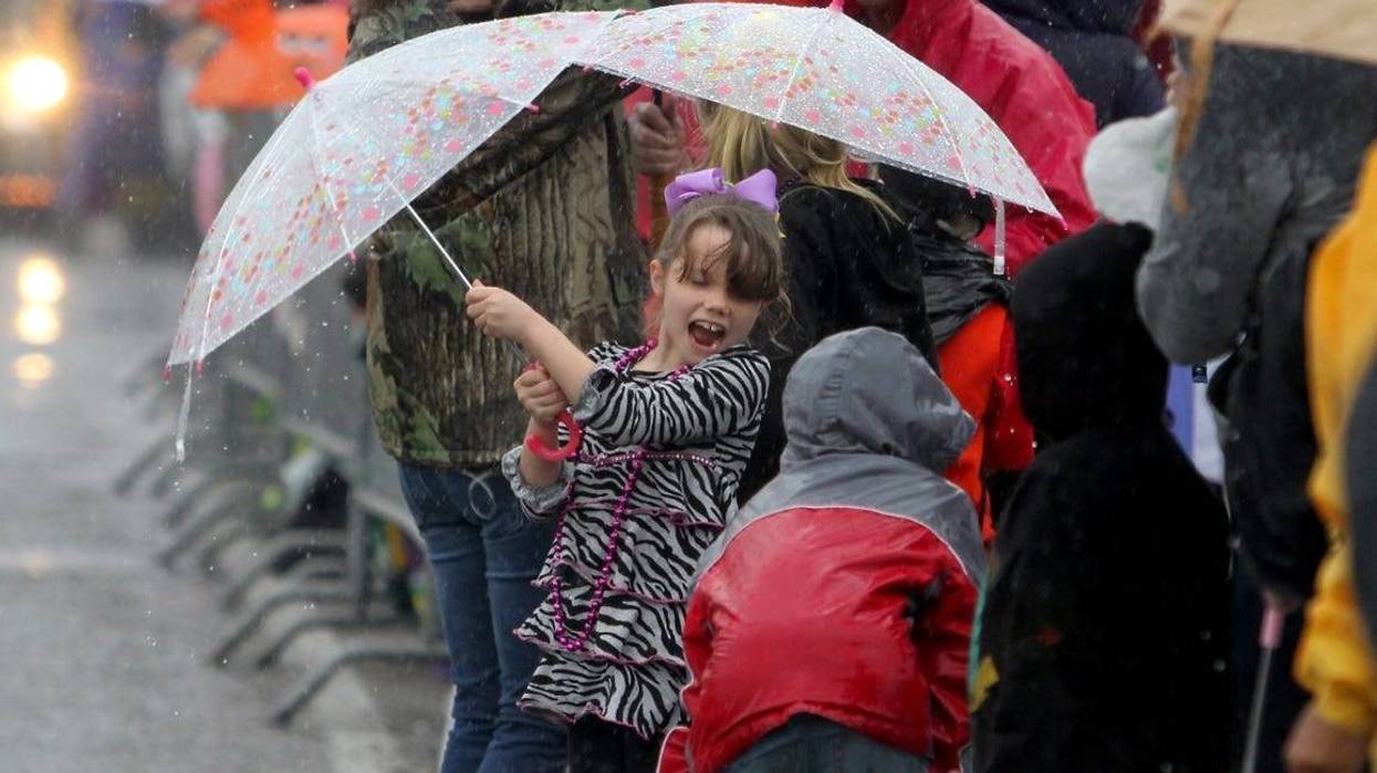
He says we will get through part of today without too much rain, but more of it falls about the time parades start rolling this evening.
"The chance for rain will increase later this afternoon through the evening with scattered showers and storms. Expect some downpours. This will not be good for the parades tonight."
The good news? We get one mostly dry day for tomorrow.
"Friday will be a drier day with mostly cloudy skies and only spotty showers and storms. Highs will be in the upper 70s. We stay dry on Friday evening, so the parades look good."
Saturday, however, the rain comes back. Nussbaum has the rain chance at 50% - 60% all day and climbing to 80% for Sunday with it at 60% for the evening.
Parade Forecast: Looking ahead to the weekend and next week...scattered showers and storms are expected Sat. and Sun. Then a cold front moves through Sunday with MUCH COLDER temps. for Lundi Gras & Mardi Gras & a few showers. #lawx #BeOn4 @WWLTV pic.twitter.com/z9D8DyxSXt
— Dave Nussbaum WWL-TV (@Dave_Nussbaum) February 27, 2019Weekend Forecast: Warmer and humid weather is on tap for Saturday, but we will still have to dodge scattered showers and storms as a cold front approaches the New Orleans area. This means we will have to deal with rain for Endymion on Saturday Afternoon. High temperatures will be close to 80°. The cold front will move through the area on Sunday with more scattered showers and storms. The afternoon parades will be wet with high temperatures in the mid 70s. The rain will continue into the evening, so this will have an impact on the Bacchus parade too.
Lundi Gras and Mardi Gras: The cold front moves through late Sunday, leaving us with dry weather now for Lundi Gras and Mardi Gras. Monday will be partly cloudy, breezy and chilly. High temperatures will only be in the lower 50s, but it will feel like the 40s. Tuesday will also be partly cloudy with morning temperatures in the 40s and highs only in the lower 50s during the afternoon. Bundle up for all the parades!
Here is a look at the 7 Day Forecast for the New Orleans area: WWLTV #lawx pic.twitter.com/5DUX9HJQpu
— Dave Nussbaum WWL-TV (@Dave_Nussbaum) February 28, 2019Detailed forecast...
TODAY:Mostly cloudy and mild with a 70% chance for scattered showers and thunderstorms especially later this afternoon. Some downpours likely. Highs around 75. Wind W/SW 6-12 mph.
THIS EVENING:Cloudy and mild with a 60% chance for scattered showers and storms. Patchy fog forming late. Temperatures around 70. Wind Light.
TONIGHT/FRIDAY MORNING:Cloudy and mild with a 20% chance for a few showers. Patchy dense fog. Lows around 64. Wind S/SE 3-5 mph.
FRIDAY:Morning dense fog, then mostly cloudy and mild with a 30% chance for spotty showers or thunderstorms. Highs around 78. Wind S 6-12 mph.
FRIDAY EVENING:Mostly cloudy and mild with a 20% chance for isolated showers. Temperatures in the 70s.
SATURDAY:Morning dense fog, then mostly cloudy and very mild with a 50% chance for scattered showers and thunderstorms. Lows around 64. Highs around 79.
SATURDAY EVENING:Mostly cloudy and mild with a 50% chance for scattered showers and thunderstorms. Temps in the 70s falling to 60s. Patchy dense fog forming.
SUNDAY:Cloudy, breezy, and mild with an 80% chance for showers and thunderstorms, some could be strong. Lows around 66. Highs around 77.
SUNDAY EVENING:Cloudy, breezy, and cooler with a 60% chance for scattered showers and thunderstorms. Temperatures in 60.
MONDAY – LUNDI GRAS:Partly cloudy, breezy and chilly. Lows in 40s, feeling like 30s. Highs around 54, feeling like 40s.
MONDAY EVENING – LUNDI GRAS EVENING:Mostly clear, breezy and cold. Temperatures in 40s, feeling like 30s.
TUESDAY – MARDI GRAS:Plenty of sunshine, breezy and chilly. Cold lows north of the lake around 36, feeling like 20s and south of the lake around 41, feeling like 30s. Highs around 51, feeling like 40s.
WEDNESDAY:Lots of sunshine and chilly. Cold lows north of the lake around 32 with a light freeze, protect plants, pets, people and south of the lake around 39. Highs around 53.