


Warm and humid is the name-of-the-game for today. Plenty of clouds and a few showers are possible today, mostly north of the lake.
Temperatures will be in the 60s on the Northshore, with highs in the 70s south of the lake.
"An active day tomorrow warm and humid again with highs in the 70s. This will bring numerous showers in the afternoon hours some of them could be severe thunderstorms as a cold front heads our way," according to WWL TV Meteorologist Dave Nussbaum.
That cold front moves in on Thursday morning bringing more rain through the midday. Some of the rain could be heavy. But, Friday will be nice and much cooler with plenty of sunshine and highs in the upper 50s to lower 60s.
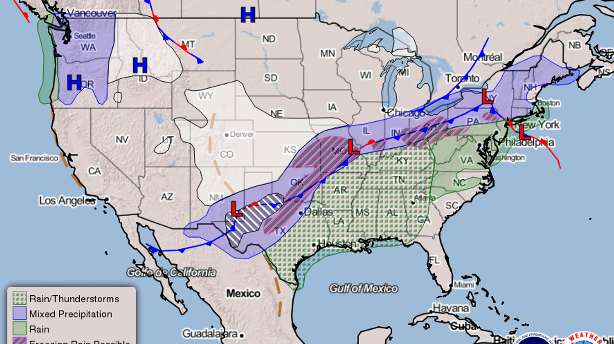
Here is a look at the 7 Day Forecast for the New Orleans area: WWLTV #lawx pic.twitter.com/Lp02OvbSOt
— Dave Nussbaum WWL-TV (@Dave_Nussbaum) February 4, 2020Your detailed forecast:
TODAY:Cloudy, breezy, warm and humid with a 30% chance for spotty showers. Highs: 76. Wind S 8-15 mph.
TONIGHT:Cloudy, breezy and muggy with a 20% chance for a shower. Lows north: 64 and south: 67. Wind S 5-10 mph.
WEDNESDAY:Cloudy, breezy, warm and humid with a 90% chance for showers and storms. Some could be strong to severe. Highs: 77. Wind S 10-20 mph.
THURSDAY:Cloudy, breezy and turning colder with a 60% chance for showers and storms. Lows north: 58 and south: 58. Highs: 58 and falling.
FRIDAY:Mostly sunny, breezy and chilly. Lows north: 37 and south: 41. Highs: 62.
SATURDAY:Mostly sunny and warmer. Lows north: 44 and south: 49. Highs: 70.
SUNDAY:Mostly sunny and pleasant. Lows north: 48 and south: 53. Highs: 68.
MONDAY:Mostly cloudy and warmer with a 40% chance for showers and a few storms. Lows north: 51 and south: 57. Highs: 73.


