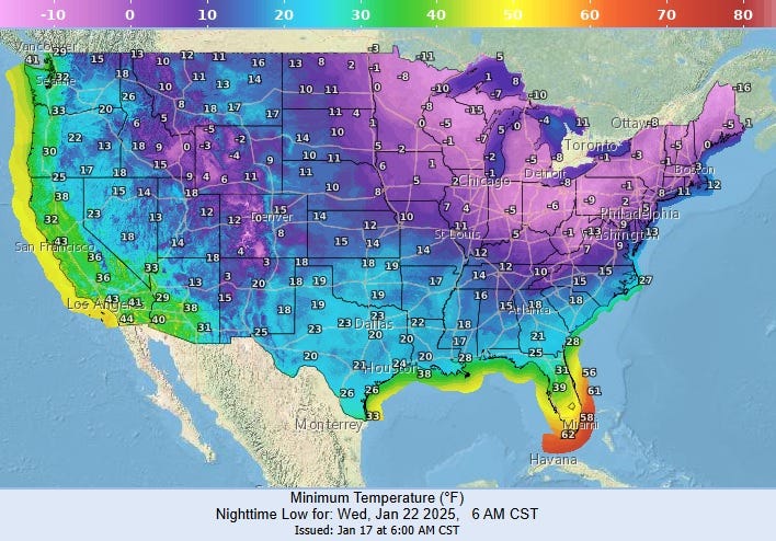

The weather app that came installed on my smart phone says the forecast for Tuesday is for up to five inches of snow in New Orleans.
WWL TV Meteorologist Payton Malone says the app on his phone this morning predicted nine inches of snow in New Orleans on Tuesday.
"It's just telling you what the models are spitting out right now," Malone explained. "I caution you... our storm that could trigger this winter storm is still out over the Pacific. It's actually south of Anchorage, Alaska."
He says because the system has not moved over land, weather balloons have not sampled the conditions yet.
"Models are guessing... we don't know yet."
Malone says by Sunday, there should be better data to help accurately forecast if there will be any snow or ice falling from the sky... and how much could accumulate.
For now his prediction calls for a 50% chance of "wintery weather" on Tuesday in Southeast Louisiana.
He urged people to prepare for bitter cold, either way.
Malone expects high temps to only be in the 30s Monday and Tuesday with 20s for lows on the Northshore.
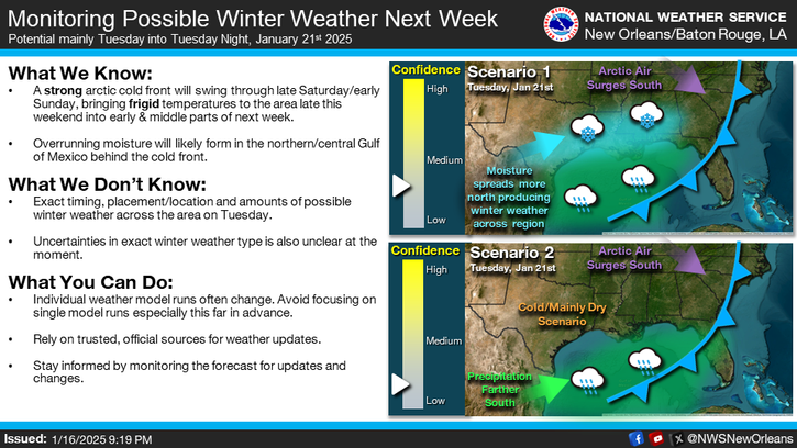
The National Weather Service says we don't know the "exact timing, placement/location and amounts of possible winter weather" yet.
Malone's Detailed Forecast...
TODAY:
Sun to partly cloudy. A bit warmer. Very pleasant! Becoming breezy. High: 65. Winds: SE 8-15.
SATURDAY:
Mostly cloudy, 50% scattered showers early. Warm morning, then falling temps late. Breezy. Low: S 59, N 57. High: 70.
SUNDAY:
Partly cloudy. Cold and windy. Lows: S 40, N 36. Colder before midnight. High: 47.
MONDAY:
Hard freeze north, freeze south. Bitter cold. Windy! Low: S 30, N 25. High: 38.
TUESDAY:
Hard freeze north, freeze south. Wintry weather possible. Windy, bitter cold. Low: S 30, N 24. High: 36.
WEDNESDAY:
Hard freeze north, freeze south. Early clouds, then sun. Bitter cold. Low: S 28, N 20. High: 42.
THURSDAY:
Freeze north. Increasing clouds, stray shower. Chilly. Low: S 37, N 30. High: 52.