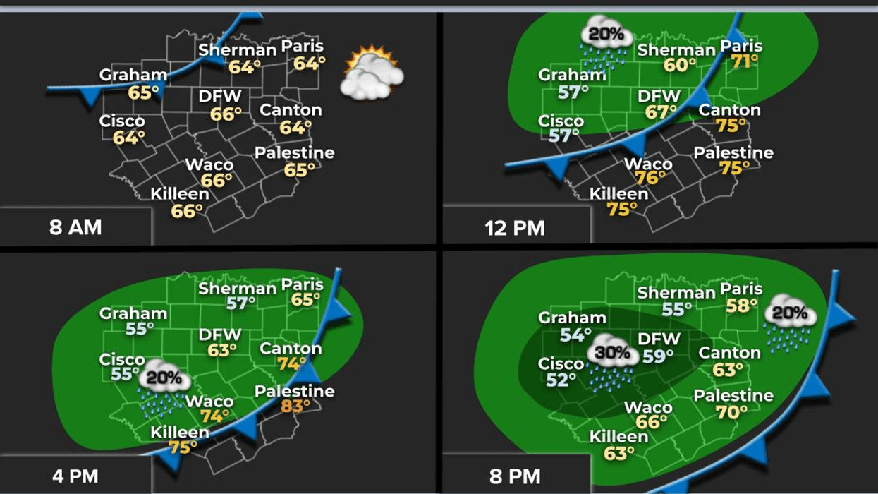
A dramatic shift in the Texas weather pattern has brought winter conditions back to the region. We are currently experiencing temperatures approximately 50 degrees lower than those recorded at 3:00 p.m. yesterday. Fortunately, this cold air mass will not persist. In fact, temperatures are expected to rebound to near 70 degrees by New Year's Day.
Good morning to my fellow North Texans. I hope everyone had a wonderful holiday. It's worth noting that we have one more holiday to celebrate before we enter the year 2026.
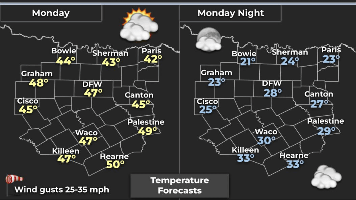
This morning's temperatures range from 26 to 34 degrees. We have likely experienced our fifth freeze of the cold season. The temperature at DFW Airport was 32 degrees at 4:00 a.m. It's even colder to the north, in Southern Oklahoma, where temperatures have dropped into the 20s as anticipated. Although the wind has subsided somewhat, a wind advisory was in effect earlier. As the Earth warms up to the lower 40s this afternoon, north winds will gust up to 25 mph, resulting in wind chill values in the 30s throughout the day. Please dress accordingly, especially if you work outdoors.
It's essential to prepare your plants, pets, and pipes for a hard freeze tonight, as temperatures will drop into the mid-to-upper 20s under a mostly clear sky. Tomorrow will bring sunny conditions with temperatures in the low 50s, along with some passing clouds.
On Wednesday, we can expect even warmer temperatures, with many areas reaching the low 60s. This will provide ideal weather conditions for New Year's Eve day.
As you head out for New Year's Eve celebrations, temperatures will decrease through the 50s and into the 40s by midnight. Please dress accordingly once again.
We can expect a continuation of pleasant weather on New Year's Day, with afternoon highs in the upper 60s.
Temperatures will approach 70 degrees on Friday before cooling down to the mid-60s on Saturday, following a weak front. Unfortunately, this front will not bring any precipitation. Our dry weather pattern will persist, with temperatures warming up to near 70 degrees by Sunday.
I hope everyone has a great day today, stays warm, and enjoys the weather when they can, it's the only weather you've got.
7-Day Headlines:
* DFW Airport reached 85R yesterday.
* 50+ degree temperature drop this morning.
* Most of us are below freezing this morning.
* Wind chills in the 30s all day. Low 40s for highs.
* Lighter wind Tuesday, but still cool.
* Warning trend through early next year.
* Above average temperatures return fast.
*Yest Rain: 0.00"; Yest High: 85R; Low: 39
*Today's Averages: High: 56; Low: 36
*Record high: 81 (1923); Record low: 10 (1983)
*December Rain: 0.08"; Deficit:
*2025 Rain: 38.31"; Surplus: +1.57"
*Sunrise: 7:30am; Sunset: 5:31pm
Monday: Increasing clouds, breezy and chilly. High: Low 40s. Wind: North 15-25 mph.
Monday night: Clear and cold. Less wind. Plants, pets and pipes. Low: Mid to upper 20s. Wind: North 5-10 mph.
Tuesday: Sunny and cool. High: Low 50s. Wind: Lt. Var.
Wednesday: Sunny and warmer. High: Mid 60s.
New Year's Eve: Clear and cool. Midnight temp: Upper 40s.
Thursday: Passing clouds, breezy and mild. High: Low 70s.
Friday. Mostly sunny. An afternoon 'DRY' cold front. High: Near 70.
Saturday: Mostly sunny, a tad cooler. High: Low to mid 60s.
Sunday: Mostly sunny, breezy and mild. High: Upper 60s.
LISTEN on the Audacy App
Tell your Smart Speaker to "PLAY 1080 KRLD"
Sign Up to receive our KRLD Insider Newsletter for more news
Follow us on Facebook | Twitter | Instagram | YouTube