Above average temperatures, a lot of wind today, critical grass fire danger, a late week cold front, and not much rain in the forecast over the next 7 days.
Good morning. Today's forecast is expected to be pleasant, following yesterday's beautiful weather. Currently, temperatures are in the mid-50s under a mostly clear sky. Today will be pleasant, albeit windy, with afternoon highs reaching the upper 70s and west-southwest winds gusting up to 35 mph. Wind gusts of 60 mph are forecasted for the Texas Panhandle and South Plains, potentially creating a significant dust storm that may affect our area by tomorrow morning in the form of dust on our vehicles.
Tonight, temperatures will dip back into the 50s under a mostly clear sky. Tomorrow will bring plenty of sunshine, less wind, and highs near 80. Thursday's forecast is similar, with temperatures near 80, although winds will pick up again, creating a critical grass fire danger.
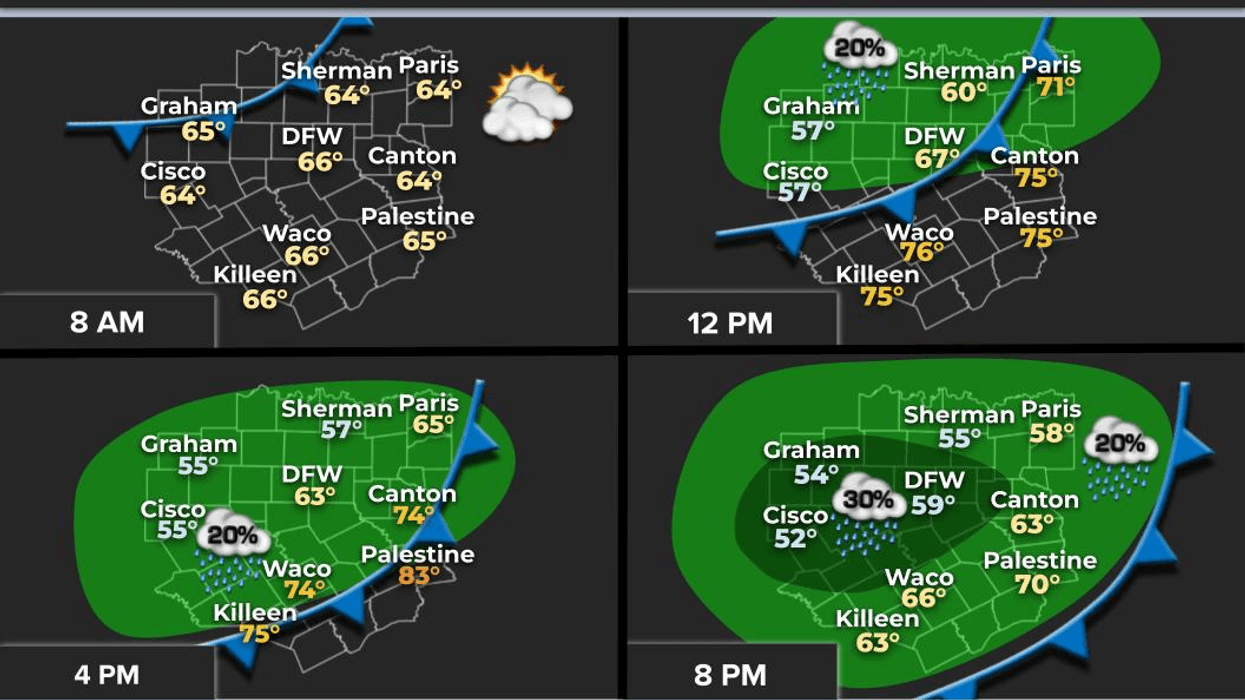
By Friday, a cold front will move into the area from the northeast, bringing cooler temperatures, but little rainfall is expected. Some showers may develop by Friday evening, but many areas will remain dry. Temperatures will be cooler, with readings in the low 60s during the day.
A second cold front will arrive on Saturday, bringing a slight chance of showers, although most areas will remain dry. North winds will gust up to 30 mph, and temperatures will fall into the low to mid-50s by the end of the day. Sunday morning will bring readings in the upper 30s to low 40s, followed by a sunny, breezy, and cool day with highs in the upper 50s. A gradual warm-up will occur next week.
Fortunately, no severe weather or Arctic blasts are expected over the next 7 to 10 days. Have a great Tuesday and enjoy the weather when you can, it's the only weather you've got!
7-Day Headlines:
* DFW Airport reached 73 yesterday.
* Another beautiful day today, but windy.
*Above average temperatures through Thursday.
* Two cold fronts.
* Slight rain chance late Friday into Saturday morning.
* Cooler and windy this weekend.
* Warming back up next week.
*Yest Rain: 0.00"; Yest High: 73; Low: 44
*Today's Averages: High: 61; Low: 41
*Record high: 88 (1959); Record low 11 (1910)
*February rain: 1.31"; Deficit:
*2026 Rain: 2.24"; Snow: 2.4" Deficit:
*Sunrise: 7:08am; Sunset: 6:16pm
Tuesday: Mostly to partly cloudy, windy and pleasant. High: Mid to upper 70s. Wind: South 15-25, G30 mph.
Tuesday night: Partly cloudy and mild. Low: 55-60. Wind: South 15-25 mph.
Wednesday: Morning clouds, afternoon sun. Less wind. High: Upper 70s. Wind: South 5-10 mph.
Thursday: Mostly sunny, breezy and mild. Cold front late. Highs: Mid to upper 70s.
Friday: Increasing clouds and much cooler. A few showers by late evening. Highs: Upper 50s.
Saturday: Morning showers, then decreasing clouds, windy and cool. High: Low 60s.
Sunday: Sunny, breezy and cool. Low: Mid to upper 30s; High: Mid 50s.
Monday: Sunny, less wind. Low: Mid to upper 30s; High: Upper 50s.
LISTEN on the Audacy App
Tell your Smart Speaker to "PLAY 1080 KRLD"
Sign Up to receive our KRLD Insider Newsletter for more news
Follow us on Facebook | Twitter | Instagram | YouTube